
1952 Map of Tombstone SE
USGS Topo · Published 1955About this map
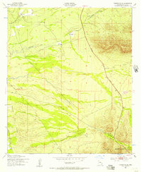
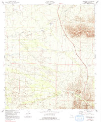
San Rafael Del Valle and the rising foothills of the Mule Mountains define this Cochise County landscape in the early 1950s. The map illustrates a high-desert environment where water management and transportation routes dictate settlement patterns, centered around isolated homesteads such as Keller Ranch, Trappman Ranch, and Johnson Ranch. Notable infrastructure includes the Jefferson Davis Memorial Highway cutting north to south, while the industrial history of the region is etched into the earth through the presence of the Southern Pacific railroad and a nearby Old Railroad Grade. This Army Map Service survey documents a specific moment in the mid-century Southwest, showing early telephone lines and various unidentified ruins that suggest earlier layers of habitation along the intermittent drainage of Government Draw.
Find a feature on this map
14 named features on this map. Tap any name to fly to it.
Don’t see what you’re looking for? This feature index may not catch every label — zoom into the map to look around manually.
Map Details
Editions of this 1952 Tombstone SE Map
3 editions found
Other maps of this area

1902 · Bisbee
USGS Topo · 1:62,500

1910 · Bisbee
USGS Topo · 1:62,500

1914 · Hereford
USGS Topo · 1:125,000

1915 · Benson
USGS Topo · 1:125,000

1916 · Pearce
USGS Topo · 1:125,000

1916 · Douglas
USGS Topo · 1:125,000

1919 · Douglas
USGS Topo · 1:125,000

1925 · Gleeson
USGS Topo · 1:62,500

1927 · Bisbee
USGS Topo · 1:62,500

1932 · Stark
USGS Topo · 1:62,500