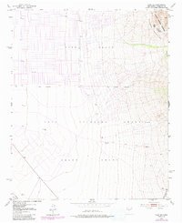
1952 Map of Tome SE
USGS Topo · Published 1991About this map
Tome Grant and the Casa Colorada Grant define the complex historical land divisions of Valencia County in the mid-20th century. This area, updated with 1970s aerial revisions, shows a landscape transitioning from the open desert floor to the steep eastern rises of the Manzano Mountains. Significant markers of water management and early ranching infrastructure are visible, including the Levee and several remote water sources such as Mountain Well and North Well. The northeastern corner is dominated by the Manzano Mountain Wilderness, providing a clear look at the topographic break between the Rio Grande valley floor and the high-elevation terrain. This map is particularly useful for those studying the boundaries of the Belen Grant or tracking family landmarks like the VABM 5194 Pyle geodetic marker.
Find a feature on this map
16 named features on this map. Tap any name to fly to it.
Don’t see what you’re looking for? This feature index may not catch every label — zoom into the map to look around manually.
Map Details
Editions of this 1952 Tome SE Map
4 editions found
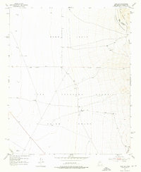
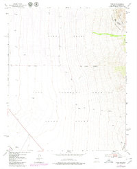
Other maps of this area

1916 · La Joya
USGS Topo · 1:125,000

1917 · Estancia
USGS Topo · 1:125,000

1952 · Tome SE
USGS Topo · 1:24,000

1952 · Black Butte
USGS Topo · 1:24,000

1952 · Tome NE
USGS Topo · 1:24,000

1952 · Turn
USGS Topo · 1:24,000

1952 · Tome
USGS Topo · 1:24,000

1952 · Becker
USGS Topo · 1:24,000

1954 · Capilla Peak
USGS Topo · 1:24,000

1954 · Torreon
USGS Topo · 1:62,500