
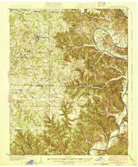
1929 Map of Tompkinsville
USGS Topo · Published 1929About this map
Tompkinsville serves as the focal point of this late 1920s survey, situated amidst a landscape defined by the winding course of the Cumberland River as it crosses the Kentucky Tennessee state line. The map illustrates a dense network of early 20th-century rural infrastructure, including a remarkable concentration of local education and faith centers such as Mt Zion Sch, Mulkey Meeting House, and Freedom Ch.
Find a feature on this map
98 named features on this map. Tap any name to fly to it.
Don’t see what you’re looking for? This feature index may not catch every label — zoom into the map to look around manually.
Map Details
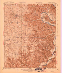
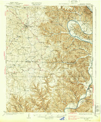
Editions of this 1929 Tompkinsville Map
4 editions found
Other maps of this area

1897 · Standingstone
USGS Topo · 1:125,000

1898 · Standingstone
USGS Topo · 1:125,000

1924 · Lillydale
USGS Topo · 1:62,500

1925 · Gainesboro
USGS Topo · 1:62,500

1926 · Lillydale
USGS Topo · 1:62,500

1929 · Lillydale
USGS Topo · 1:62,500

1929 · Gainesboro
USGS Topo · 1:62,500

1931 · Red Boiling Springs
USGS Topo · 1:62,500

1932 · Carthage
USGS Topo · 1:62,500

1953 · Sulphur Lick
USGS Topo · 1:24,000