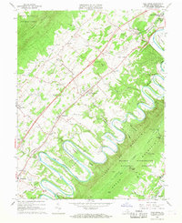
1966 Map of Toms Brook
USGS Topo · Published 1968About this map
The North Fork Shenandoah River carves a dramatic series of meanders through the heart of the Shenandoah Valley, creating prominent landforms like Rittenour Ridge and Seven Bends. This mid-1960s landscape shows a transition between traditional agricultural life and modern infrastructure, evidenced by the presence of Interchange 73 on the newly developed highway corridor. Along the eastern edge, Three Top Mountain and Little Fort Valley provide a stark relief to the settled valley floor, where communities like Toms Brook and Maurertown are centered on the Southern railroad line.
Find a feature on this map
54 named features on this map. Tap any name to fly to it.
Don’t see what you’re looking for? This feature index may not catch every label — zoom into the map to look around manually.
Map Details
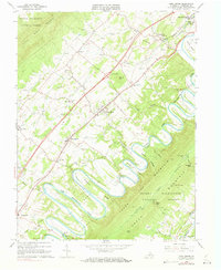
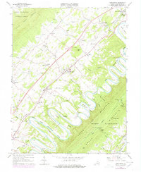
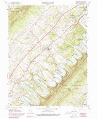
Editions of this 1966 Toms Brook Map
4 editions found
Other maps of this area

1891 · Romney
USGS Topo · 1:125,000

1892 · Woodstock
USGS Topo · 1:125,000

1893 · Luray
USGS Topo · 1:125,000

1894 · Winchester
USGS Topo · 1:125,000

1905 · Luray
USGS Topo · 1:125,000

1922 · Wardensville
USGS Topo · 1:62,500

1923 · Middletown
USGS Topo · 1:62,500

1923 · Edinburg
USGS Topo · 1:62,500

1924 · Wardensville
USGS Topo · 1:62,500

1937 · Middletown
USGS Topo · 1:48,000