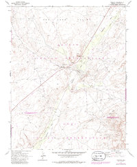
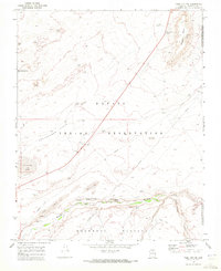
1970 Map of Tonalea
USGS Topo · Published 1986About this map
The boundary between the Navajo Indian Reservation and the Hopi Indian Reservation bisects this high desert landscape, anchoring the settlement of Tonalea and its central hub at Red Lake (Tonalea PO). The community serves as a vital junction where a local Trading Post and George-Smith Hist Mon stand near the iconic Elephant Feet rock formations. This era of the late 1960s and early 1970s shows the region's reliance on scattered water sources and infrastructure, including the Sewage Disposal Ponds and a prominent Water Tank near the main road.
Find a feature on this map
24 named features on this map. Tap any name to fly to it.
Don’t see what you’re looking for? This feature index may not catch every label — zoom into the map to look around manually.
Map Details
Editions of this 1970 Tonalea Map
Other maps of this area

1883 · Marsh Pass
USGS Topo · 1:250,000

1886 · Echo Cliffs
USGS Topo · 1:250,000

1891 · Echo Cliffs
USGS Topo · 1:250,000

1892 · Marsh Pass
USGS Topo · 1:250,000

1956 · Marble Canyon
USGS Topo · 1:250,000

1959 · Marble Canyon
USGS Topo · 1:250,000

1961 · Marble Canyon
USGS Topo · 1:250,000
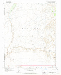
1967 · Pillars of Hercules
USGS Topo · 1:24,000
1967 · Begashibito Canyon
USGS Topo · 1:24,000
1969 · Tuba City NE
USGS Topo · 1:24,000