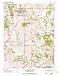
1950 Map of Tonganoxie
USGS Topo · Published 1977About this map
Tonganoxie serves as the primary hub of this eastern Kansas landscape, situated just north of where Stranger Creek and Ninemile Creek drain the undulating prairie. The map documents a mid-century infrastructure transition, showing the heavy diagonal line of the Kansas Turnpike cutting across traditional township lines. To the south, the settlement of Linwood sits along the Union Pacific tracks near the confluence of local waterways. Rural education and community life are well-represented by a dense network of country schools, including Hawk Hollow Sch, Honey Valley Sch, and Pickens Sch. Genealogists will find several burial sites preserved here, such as Sarcoxie Cem and Maple Grove Cem, which anchor the family histories of the surrounding farmsteads. The inclusion of smaller locales like Reno and Villa Eden provides a detailed look at the scattered residential pattern before modern suburban expansion.
Find a feature on this map
29 named features on this map. Tap any name to fly to it.
Don’t see what you’re looking for? This feature index may not catch every label — zoom into the map to look around manually.
Map Details
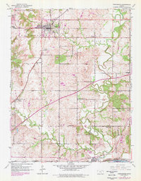
Editions of this 1950 Tonganoxie Map
2 editions found
Other maps of this area

1885 · Lawrence
USGS Topo · 1:125,000

1886 · Oskaloosa
USGS Topo · 1:125,000

1887 · Olathe
USGS Topo · 1:125,000

1888 · Oskaloosa
USGS Topo · 1:125,000

1889 · Lawrence
USGS Topo · 1:125,000

1890 · Kansas City
USGS Topo · 1:125,000

1893 · Olathe
USGS Topo · 1:125,000

1894 · Kansas City
USGS Topo · 1:125,000

1894 · Oskaloosa
USGS Topo · 1:125,000

1934 · Bonner Springs
USGS Topo · 1:48,000