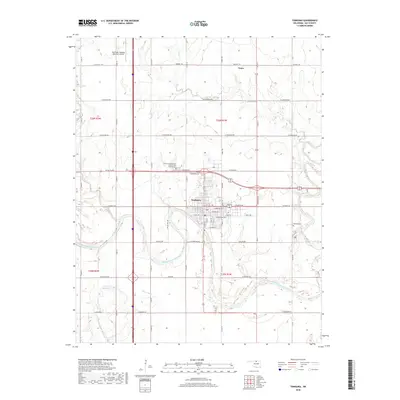
2018 Map of Tonkawa
USGS Topo · Published 2018About this map
Tonkawa sits at the heart of this North Central Oklahoma landscape, defined by the winding course of the Salt Fork Arkansas River as it snakes through southern Kay County. This 2018 survey illustrates the modern layout of the city, showing its expansion toward the Blackwell-Tonkawa Municipal Airport to the northwest and the small community of Tyner to the north. The area's genealogical significance is anchored by the Tonkawa Independent Order of Odd Fellows Cem and the Tonkawa Cem, both located on the outskirts of the primary settlement. The terrain is further shaped by several tributaries, including Birds Nest Cr, Deep Creek, and the uniquely named Stink Cr, which feed into the river valley. The map details a dense grid of section roads and local streets like W Hartford Ave and E Grand Ave, reflecting the region's agricultural and municipal development.
Find a feature on this map
58 named features on this map. Tap any name to fly to it.
Don’t see what you’re looking for? This feature index may not catch every label — zoom into the map to look around manually.
Map Details
Editions of this 2018 Tonkawa Map
This is the sole edition of this map. No revisions or reprints were ever made.
Other maps of this area

1955 · Enid
USGS Topo · 1:250,000

1958 · Enid
USGS Topo · 1:250,000

1968 · Billings
USGS Topo · 1:24,000

1968 · Tonkawa SE
USGS Topo · 1:24,000

1968 · Marland
USGS Topo · 1:24,000

1968 · Ponca City NW
USGS Topo · 1:24,000

1968 · Eddy
USGS Topo · 1:24,000

1968 · Nardin
USGS Topo · 1:24,000

1968 · Tonkawa
USGS Topo · 1:24,000

1968 · Blackwell
USGS Topo · 1:24,000