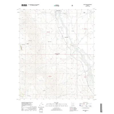
2018 Map of Tonto Basin
USGS Topo · Published 2018About this map
Punkin Center and the neighboring community of Tonto Basin sit along the central corridor of the Tonto National Forest in Gila County. This arid landscape is defined by the drainage of Tonto Cr, which is fed by numerous seasonal tributaries and springs including Bark Spring and Sycamore Cr. To the west, the terrain rises sharply into the Mazatzal Mountains, reaching high points at Edwards Peak and the surrounding Edwards Park.
Find a feature on this map
52 named features on this map. Tap any name to fly to it.
Don’t see what you’re looking for? This feature index may not catch every label — zoom into the map to look around manually.
Map Details
Editions of this 2018 Tonto Basin Map
This is the sole edition of this map. No revisions or reprints were ever made.
Other maps of this area

1907 · Roosevelt
USGS Topo · 1:125,000

1909 · Four Peaks
USGS Topo · 1:125,000

1912 · Roosevelt
USGS Topo · 1:125,000

1954 · Mesa
USGS Topo · 1:250,000

1957 · Mesa
USGS Topo · 1:250,000

1958 · Mesa
USGS Topo · 1:250,000

1960 · Mesa
USGS Topo · 1:250,000
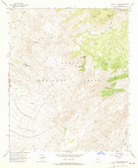
1963 · Mine Mountain
USGS Topo · 1:24,000

1964 · Mesa
USGS Topo · 1:250,000
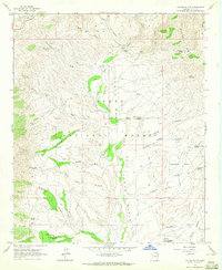
1964 · Kayler Butte
USGS Topo · 1:24,000
Featured Places
- Punkin Center, AZ
- Rancho Del Escondido, AZ
- Riverside Acres, AZ
- Roosevelt Lake Gardens East, AZ
- Tonto Basin, AZ