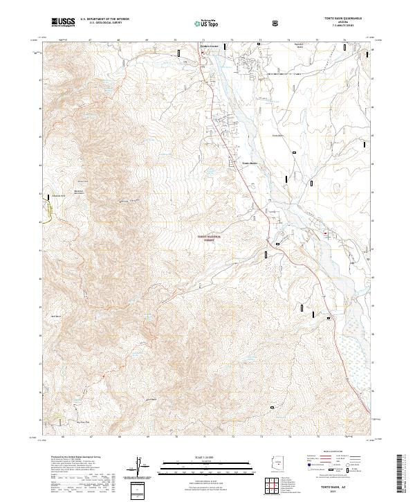
2021 Map of Tonto Basin
USGS Topo · Published 2021About this map
Tonto Creek flows southward through the heart of the Tonto National Forest, shaping a landscape of deep canyons and rugged mountain peaks. This 2021 survey details the small communities of Punkin Center and Tonto Basin, which serve as vital hubs for this stretch of Gila County. To the west, the Mazatzal Mountains rise sharply, anchored by Edwards Peak, while the eastern side is defined by the high ground of Haystack Butte and the drainage of Juniper Canyon.
Find a feature on this map
59 named features on this map. Tap any name to fly to it.
Don’t see what you’re looking for? This feature index may not catch every label — zoom into the map to look around manually.
Map Details
Editions of this 2021 Tonto Basin Map
This is the sole edition of this map. No revisions or reprints were ever made.
Other maps of this area

1907 · Roosevelt
USGS Topo · 1:125,000

1909 · Four Peaks
USGS Topo · 1:125,000

1912 · Roosevelt
USGS Topo · 1:125,000

1954 · Mesa
USGS Topo · 1:250,000

1957 · Mesa
USGS Topo · 1:250,000

1958 · Mesa
USGS Topo · 1:250,000

1960 · Mesa
USGS Topo · 1:250,000
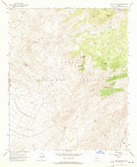
1963 · Mine Mountain
USGS Topo · 1:24,000

1964 · Mesa
USGS Topo · 1:250,000
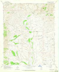
1964 · Kayler Butte
USGS Topo · 1:24,000
Featured Places
- Punkin Center, AZ
- Rancho Del Escondido, AZ
- Riverside Acres, AZ
- Roosevelt Lake Gardens East, AZ
- Roosevelt Lake Gardens West, AZ