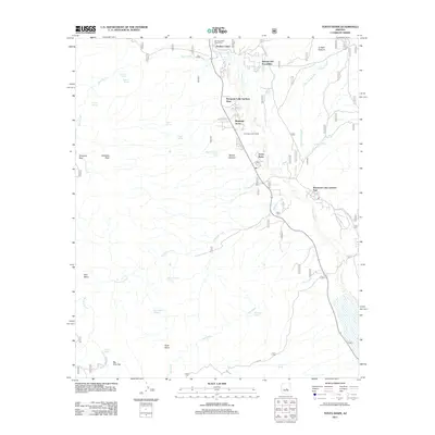
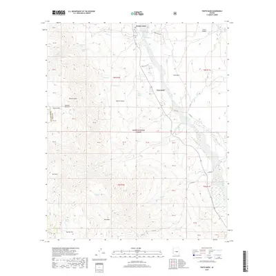
2004 Map of Tonto Basin
USGS Topo · Published 2007About this map
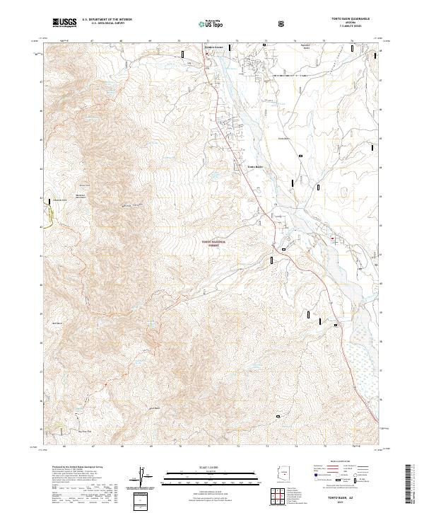
Punkin Center and the neighboring community of Riverside Acres sit at the heart of this valley, where the rugged slopes of the Mazatzal Mountains descend into the northern reach of the Tonto Basin. This 2004 revision documents a landscape defined by the transition from arid peaks like Edwards Peak to the vital riparian corridor of Tonto Creek. The map shows the residential expansion near the northern shore of Theodore Roosevelt Lake, including North Bay Estates and Roosevelt Lake Gardens West.
Find a feature on this map
40 named features on this map. Tap any name to fly to it.
Don’t see what you’re looking for? This feature index may not catch every label — zoom into the map to look around manually.
Map Details
Editions of this 2004 Tonto Basin Map
This is the sole edition of this map. No revisions or reprints were ever made.
Historical Maps of Tonto Basin Through Time
6 maps found
Featured Locations
- Punkin Center, AZ
- Rancho Del Escondido, AZ
- Roosevelt Lake Gardens East, AZ
- Tonto Basin, AZ
- Roosevelt Lake Gardens West, AZ