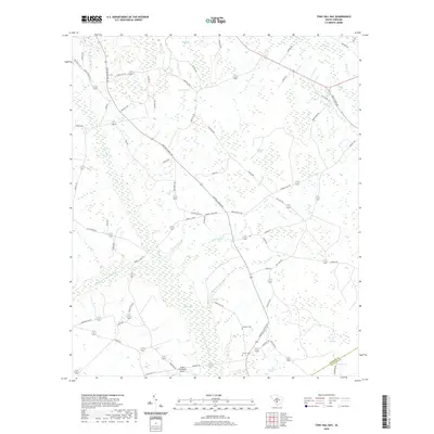
2020 Map of Tony Hill Bay
USGS Topo · Published 2020About this map
Tony Hill Bay and Schofield Swamp dominate this Lowcountry landscape in Colleton County, characterized by the distinct elliptical depressions known as Carolina Bays. The hydrography of the region is defined by the Little Salkehatchie River and various tributaries including Brier Creek and Hurricane Br. Human imprint on the land is visible through a network of rural roads such as Hunters Chapel Rd and Howells Mill Rd, which connect the scattered agricultural and timber interests of the area.
Find a feature on this map
70 named features on this map. Tap any name to fly to it.
Don’t see what you’re looking for? This feature index may not catch every label — zoom into the map to look around manually.
Map Details
Editions of this 2020 Tony Hill Bay Map
This is the sole edition of this map. No revisions or reprints were ever made.
Other maps of this area

1919 · Olar
USGS Topo · 1:62,500

1919 · Bamberg
USGS Topo · 1:48,000

1919 · Lodge
USGS Topo · 1:62,500

1920 · Lodge
USGS Topo · 1:48,000

1920 · Bamberg
USGS Topo · 1:62,500

1920 · Orangeburg
USGS Topo · 1:48,000

1921 · Orangeburg
USGS Topo · 1:62,500

1921 · Lodge
USGS Topo · 1:62,500

1943 · Olar
USGS Topo · 1:62,500

1943 · Lodge
USGS Topo · 1:62,500