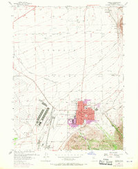
1955 Map of Tooele
USGS Topo · Published 1970About this map
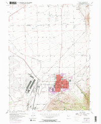
The Tooele Ordnance Depot dominates the valley floor southwest of Tooele, reflecting the area's massive military and industrial footprint during the mid-20th century. This survey records a landscape shaped by both federal defense needs and the older agricultural and mining foundations of the Tooele Valley. The residential enclave at Tod Park stands distinct from the main city center, where municipal life is anchored by the Court House, City Hall, and schools like Central Sch. Transport networks are particularly dense here, featuring a complex of Gravel Pits, the Union Pacific and Western Pacific railroads, and several specialized stops such as Warner Station and Erda Siding. To the east, the terrain rises sharply into the Oquirrh Mountains, where Settlement Canyon and Middle Canyon provide a stark contrast to the gridded urban core and the sprawling Municipal Airport.
Find a feature on this map
50 named features on this map. Tap any name to fly to it.
Don’t see what you’re looking for? This feature index may not catch every label — zoom into the map to look around manually.
Map Details
Editions of this 1955 Tooele Map
3 editions found

Other maps of this area

1885 · Tooele Valley
USGS Topo · 1:250,000

1915 · Fairfield
USGS Topo · 1:62,500

1917 · Fairfield
USGS Topo · 1:62,500

1918 · Stockton
USGS Topo · 1:62,500

1952 · Bingham Canyon
USGS Topo · 1:24,000

1952 · Garfield
USGS Topo · 1:24,000

1953 · Tooele
USGS Topo · 1:250,000

1955 · Mills Junction
USGS Topo · 1:24,000

1955 · Burmester
USGS Topo · 1:24,000

1955 · Grantsville
USGS Topo · 1:24,000