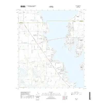
2019 Map of Tool
USGS Topo · Published 2019About this map
Cedar Creek Reservoir dominates the landscape of north-central Texas, where the boundaries of Kaufman and Henderson counties meet. This survey shows the extensive shoreline development characterizing the region, particularly around the lakeside communities of Gun Barrel City and Tool. The map captures a sophisticated network of residential roads and local connectors like Seven Points Blvd that facilitate access to the water's edge.
Find a feature on this map
186 named features on this map. Tap any name to fly to it.
Don’t see what you’re looking for? This feature index may not catch every label — zoom into the map to look around manually.
Map Details
Editions of this 2019 Tool Map
This is the sole edition of this map. No revisions or reprints were ever made.
Other maps of this area

1920 · Kemp
USGS Topo · 1:62,500

1954 · Dallas
USGS Topo · 1:250,000

1957 · Kemp
USGS Topo · 1:62,500

1958 · Dallas
USGS Topo · 1:250,000

1960 · Tool
USGS Topo · 1:24,000

1960 · Mabank
USGS Topo · 1:24,000

1960 · Malakoff
USGS Topo · 1:24,000

1960 · Grays Prairie
USGS Topo · 1:24,000

1961 · Kemp
USGS Topo · 1:24,000

1961 · Kerens
USGS Topo · 1:24,000