2022 Map of Tool
USGS Topo · Published 2022About this map
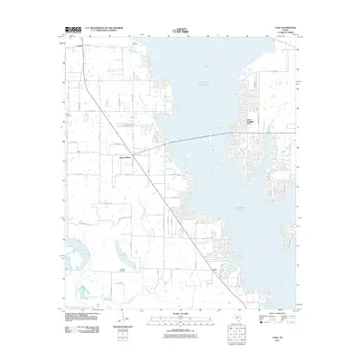
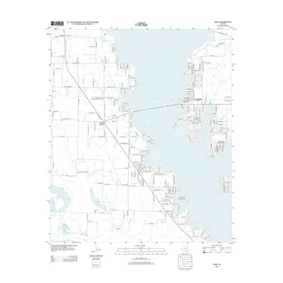
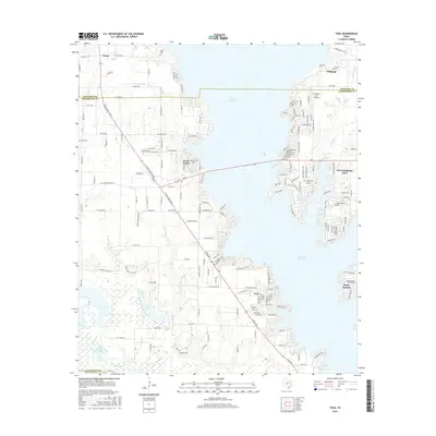
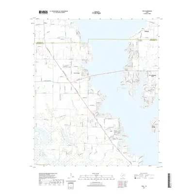
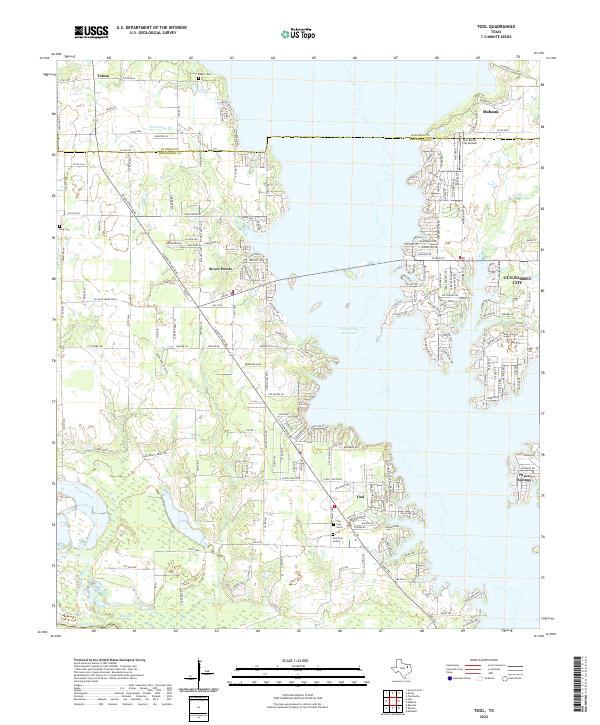
Cedar Creek Reservoir dominates this landscape at the intersection of Henderson and Kaufman Counties, shaping the development of the surrounding lakeside communities. The water's edge is densely lined with residential streets and private docks, particularly around Tool and Gun Barrel City. This modern geography contrasts with the older rural roots visible in the outlying areas, where Sanders Creek and Bridge Creek flow through less developed terrain toward the Trinity River and Mud Lake. Local history is anchored by several family and community burial grounds, including Baker Cem in the north and King Cem to the west. Transportation in the region relies on a network of state and county roads, such as Seven Points Boulevard, which connects the namesake settlement of Seven Points to the larger recreation-driven economies of the reservoir's shoreline. The presence of the Gun Barrel City Airpark further highlights the area's role as a regional hub.
Find a feature on this map
198 named features on this map. Tap any name to fly to it.
Don’t see what you’re looking for? This feature index may not catch every label — zoom into the map to look around manually.
Map Details
Editions of this 2022 Tool Map
This is the sole edition of this map. No revisions or reprints were ever made.
Historical Maps of Gun Barrel City Through Time
6 maps found