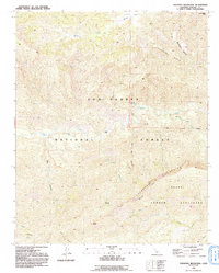
1991 Map of Topatopa Mountains
USGS Topo · Published 1991About this map
Sespe Condor Sanctuary occupies a significant portion of this landscape, reflecting late 20th-century conservation efforts within the Los Padres National Forest. The geography is defined by the east-west passage of Sespe Creek, which is fed by numerous tributaries including Mutau Creek and Sycamore Creek. Topographic prominent points like Hines Peak and San Rafael Peak rise above deep drainage systems such as Bear Canyon and Lion Canyon. Human presence is marked primarily by backcountry landmarks, including Willett Hot Springs and the Ladybug Campsite. The survey captures the intricate network of ridgelines like Johnston Ridge and elevated plateaus such as Mutau Flat and Oak Flat, providing a detailed look at the watershed before modern shifts in wilderness management and accessibility.
Find a feature on this map
28 named features on this map. Tap any name to fly to it.
Don’t see what you’re looking for? This feature index may not catch every label — zoom into the map to look around manually.
Map Details
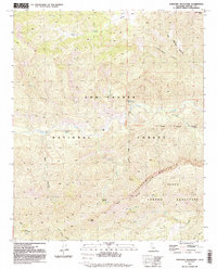
Editions of this 1991 Topatopa Mountains Map
2 editions found
Other maps of this area

1900 · Piru
USGS Topo · 1:62,500

1903 · Santa Paula
USGS Topo · 1:62,500

1903 · Mt. Pinos
USGS Topo · 1:125,000

1903 · Tejon
USGS Topo · 1:125,000

1903 · Camulos
USGS Topo · 1:125,000

1921 · Piru
USGS Topo · 1:62,500

1941 · Piru
USGS Topo · 1:62,500

1942 · Santa Paula
USGS Topo · 1:62,500

1943 · Topatopa Mountains
USGS Topo · 1:24,000

1943 · San Guillermo
USGS Topo · 1:24,000