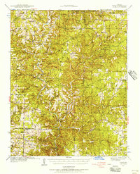
1939 Map of Topaz
USGS Topo · Published 1956About this map
North Fork White River and Bryant Creek carve through the Ozark plateau in this late 1930s survey of southern Missouri. This map captures a landscape defined by isolated rural hubs and family-owned mercantile sites like Holt Store, Fields Store, and Onba Store. Small hilltop settlements such as Topaz and Hebron appear alongside dozens of neighborhood schoolhouses, including the New Arlyn Sch and Nichols Knob Sch, illustrating the dispersed community structure of the era.
Find a feature on this map
93 named features on this map. Tap any name to fly to it.
Don’t see what you’re looking for? This feature index may not catch every label — zoom into the map to look around manually.
Map Details
Editions of this 1939 Topaz Map
3 editions found
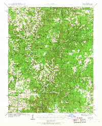
Other maps of this area

1934 · Gainesville
USGS Topo · 1:48,000

1937 · Buckhart
USGS Topo · 1:48,000

1939 · Topaz
USGS Topo · 1:62,500

1940 · Gainesville
USGS Topo · 1:62,500

1941 · Topaz
USGS Topo · 1:62,500

1943 · Buckhart
USGS Topo · 1:62,500

1944 · West Plains
USGS Topo · 1:62,500

1944 · Cureall
USGS Topo · 1:62,500

1945 · Harrison
USGS Topo · 1:250,000

1945 · Buckhart
USGS Topo · 1:62,500