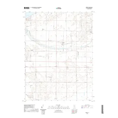
2021 Map of Topeka
USGS Topo · Published 2021About this map
The unincorporated community of Topeka serves as the central hub of this Mason County landscape, characterized by a complex network of agricultural drainage and family burial grounds. The northern reaches are defined by the presence of Lake Chautauqua and the meandering path of Quiver Creek, while the Mason Tazewell Drainage Ditch cuts a straight line through the center of the quadrangle. This area reflects a long-standing reliance on managed water systems to support the surrounding farmland.
Find a feature on this map
62 named features on this map. Tap any name to fly to it.
Don’t see what you’re looking for? This feature index may not catch every label — zoom into the map to look around manually.
Map Details
Editions of this 2021 Topeka Map
This is the sole edition of this map. No revisions or reprints were ever made.
Other maps of this area

1925 · Havana
USGS Topo · 1:62,500

1929 · Manito
USGS Topo · 1:62,500

1930 · Chandlerville
USGS Topo · 1:62,500

1932 · Chandlerville
USGS Topo · 1:62,500

1932 · Manito
USGS Topo · 1:62,500

1933 · Petersburg
USGS Topo · 1:62,500

1938 · Petersburg
USGS Topo · 1:62,500

1947 · St. David
USGS Topo · 1:24,000

1947 · Havana
USGS Topo · 1:24,000

1948 · St. David
USGS Topo · 1:24,000