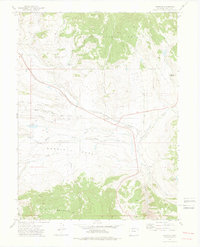
1972 Map of Toponas
USGS Topo · Published 1976About this map
Toponas serves as the central hub of this high-altitude landscape in the early 1970s, situated at the junction of the Denver and Rio Grande Western railroad and the local road network. The map reveals a high-country economy focused on water management and ranching, evidenced by a series of engineered water features including the Stillwater Ditch, Five Pine Mesa Ditch, and several private or municipal impoundments like Crouner Reservoir and Kelly Reservoir.
Find a feature on this map
25 named features on this map. Tap any name to fly to it.
Don’t see what you’re looking for? This feature index may not catch every label — zoom into the map to look around manually.
Map Details
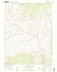
Editions of this 1972 Toponas Map
3 editions found

Other maps of this area

1954 · Craig
USGS Topo · 1:250,000
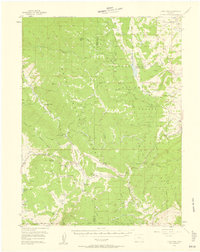
1956 · Gore Pass
USGS Topo · 1:62,500

1957 · Craig
USGS Topo · 1:250,000

1957 · Leadville
USGS Topo · 1:250,000

1958 · Craig
USGS Topo · 1:250,000

1959 · Leadville
USGS Topo · 1:250,000

1960 · Leadville
USGS Topo · 1:250,000

1960 · Craig
USGS Topo · 1:250,000

1962 · Leadville
USGS Topo · 1:250,000

1962 · Craig
USGS Topo · 1:250,000