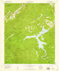
1957 Map of Topton
USGS Topo · Published 1959About this map
The Nantahala Dam and its resulting reservoir, Nantahala Lake, dominate the central landscape of this 1950s survey of western Macon and Cherokee counties. This high-elevation water system, supported by the Dicks Creek Dam, reflects the mid-century hydroelectric development managed by the Tennessee Valley Authority. Along the western edge, the Southern railroad line follows the narrow river valley through Topton and Rhodo, climbing toward Red Marble Gap.
Find a feature on this map
121 named features on this map. Tap any name to fly to it.
Don’t see what you’re looking for? This feature index may not catch every label — zoom into the map to look around manually.
Map Details
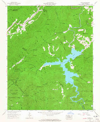
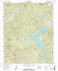
Editions of this 1957 Topton Map
3 editions found
Other maps of this area

1933 · Bushnell
USGS Topo · 1:62,500

1935 · Rainbow Springs
USGS Topo · 1:24,000

1935 · Robbinsville
USGS Topo · 1:24,000

1935 · Shooting Creek
USGS Topo · 1:24,000

1935 · Burningtown Bald
USGS Topo · 1:24,000

1935 · Topton
USGS Topo · 1:24,000

1935 · Wayah Bald
USGS Topo · 1:48,000

1935 · Andrews
USGS Topo · 1:24,000
1935 · Hayesville
USGS Topo · 1:24,000

1936 · Wesser
USGS Topo · 1:24,000