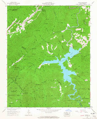
1957 Map of Topton
USGS Topo · Published 1965About this map
Topton and Rhodo occupy the northwestern corridor of this mountainous landscape where the Southern railroad tracks wind through Red Marble Gap. The mid-century development of the region's hydroelectric power is evident in the sprawling waters of Nantahala Lake, contained by the Nantahala Dam, Whiteoak Dam, and Dicks Creek Dam. This survey documents a complex network of ridgelines and peaks, including the Snowbird Mountains and Quoitee Mountains, interspersed with remote community landmarks like Red Marble Church and Junaluska Ch.
Find a feature on this map
103 named features on this map. Tap any name to fly to it.
Don’t see what you’re looking for? This feature index may not catch every label — zoom into the map to look around manually.
Map Details
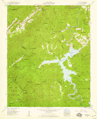
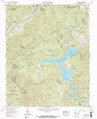
Editions of this 1957 Topton Map
3 editions found
Other maps of this area

1933 · Bushnell
USGS Topo · 1:62,500

1935 · Rainbow Springs
USGS Topo · 1:24,000

1935 · Robbinsville
USGS Topo · 1:24,000

1935 · Shooting Creek
USGS Topo · 1:24,000

1935 · Burningtown Bald
USGS Topo · 1:24,000

1935 · Topton
USGS Topo · 1:24,000

1935 · Wayah Bald
USGS Topo · 1:48,000

1935 · Andrews
USGS Topo · 1:24,000
1935 · Hayesville
USGS Topo · 1:24,000

1936 · Wesser
USGS Topo · 1:24,000