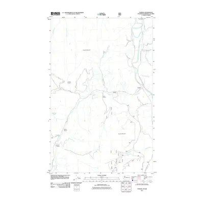
2011 Map of Toroda
USGS Topo · Published 2011About this map
The Kettle River meanders across the international boundary in this northern section of Ferry County, defining the local landscape near the Ferry - Midway Port of Entry. The small settlement of Toroda serves as a central point for the surrounding network of mountain roads and canyon passages. The area's industrial history is etched into the terrain at the Magnetic Mine, situated along Magnetic Mine Rd near Graphite Mountain.
Find a feature on this map
36 named features on this map. Tap any name to fly to it.
Don’t see what you’re looking for? This feature index may not catch every label — zoom into the map to look around manually.
Map Details
Editions of this 2011 Toroda Map
This is the sole edition of this map. No revisions or reprints were ever made.
Other maps of this area
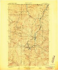
1904 · Republic
USGS Topo · 1:125,000
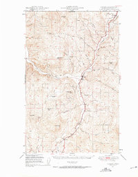
1948 · Curlew
USGS Topo · 1:62,500
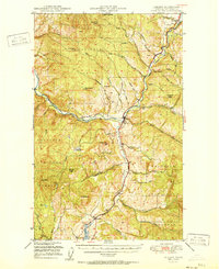
1951 · Curlew
USGS Topo · 1:62,500
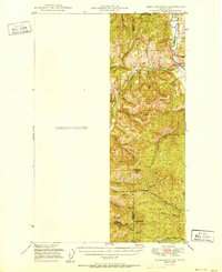
1951 · Bodie Mountain
USGS Topo · 1:62,500
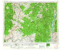
1954 · Okanogan
USGS Topo · 1:250,000
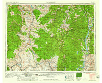
1958 · Okanogan
USGS Topo · 1:250,000
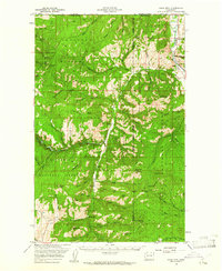
1958 · Bodie Mtn
USGS Topo · 1:62,500
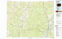
1984 · Republic
USGS Topo · 1:100,000
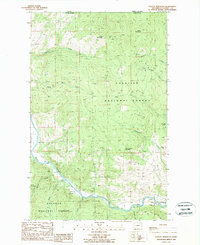
1988 · Vulcan Mountain
USGS Topo · 1:24,000
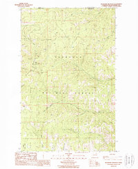
1988 · Buckhorn Mountain
USGS Topo · 1:24,000