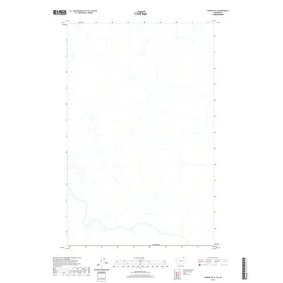
2020 Map of Toroda OE N
USGS Topo · Published 2020About this map
The international boundary of Canada dominates the southern reaches of this landscape, represented here by the U.S. Geological Survey in its mapping of the borderlands. The terrain is characterized by an intricate network of unnamed drainages and creeks flowing through the northern latitudes of the Toroda OE N quadrangle. This 2020 map focuses on the physical geography and hydrography of the region just north of the Washington state line, illustrating the complex watershed patterns that cross this segment of the international frontier.
Find a feature on this map
1 named feature on this map. Tap any name to fly to it.
Don’t see what you’re looking for? This feature index may not catch every label — zoom into the map to look around manually.
Map Details
Editions of this 2020 Toroda OE N Map
This is the sole edition of this map. No revisions or reprints were ever made.
Other maps of this area

1904 · Republic
USGS Topo · 1:125,000

1948 · Curlew
USGS Topo · 1:62,500

1951 · Curlew
USGS Topo · 1:62,500

1951 · Bodie Mountain
USGS Topo · 1:62,500

1954 · Okanogan
USGS Topo · 1:250,000

1958 · Okanogan
USGS Topo · 1:250,000

1958 · Bodie Mtn
USGS Topo · 1:62,500

1984 · Republic
USGS Topo · 1:100,000
1988 · Vulcan Mountain
USGS Topo · 1:24,000
1988 · Buckhorn Mountain
USGS Topo · 1:24,000