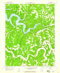
1959 Map of Toronto
USGS Topo · Published 1960About this map
The Grandglaize Arm of the Lake of the Ozarks dominates this landscape, revealing the intricate shoreline and deep hollows that define the northern Camden County region. The map captures the interface between the sprawling Lake of the Ozarks State Park and the rural agricultural communities of Jackson and Glaze townships. Small settlements like Toronto and the curiously named Passover provide focal points for local history, while landmarks such as Ozark Caverns and the Kaiser Lookout Tower suggest the area's early development as a recreation and conservation destination.
Find a feature on this map
34 named features on this map. Tap any name to fly to it.
Don’t see what you’re looking for? This feature index may not catch every label — zoom into the map to look around manually.
Map Details
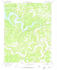
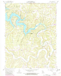
Editions of this 1959 Toronto Map
3 editions found
Other maps of this area

1888 · Versailles
USGS Topo · 1:125,000

1888 · Tuscumbia
USGS Topo · 1:125,000

1893 · Versailles
USGS Topo · 1:125,000

1894 · Tuscumbia
USGS Topo · 1:125,000

1932 · Versailles No 4
USGS Topo · 1:48,000

1933 · Stoutland
USGS Topo · 1:62,500

1933 · Iberia
USGS Topo · 1:62,500

1934 · Camdenton
USGS Topo · 1:24,000

1934 · Toronto
USGS Topo · 1:24,000

1934 · Lake Ozark
USGS Topo · 1:24,000