Loading...
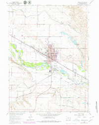
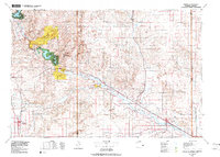
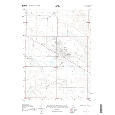
Loading map...1954 Map of Torrington
USGS Topo · Published 1963About this map
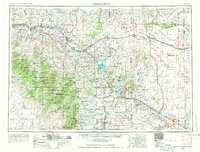
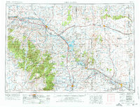
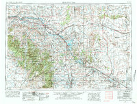
The North Platte River carves a critical path through this mid-century Wyoming landscape, serving as the spine for both agricultural development and industrial transport. The mid-1950s infrastructure is well-defined, featuring the Glendo Reservoir and Guernsey Reservoir, which provided essential irrigation and power for the region. To the west, energy production is highlighted by the Big Muddy Oil Field and the South Cole Creek Oil Field, marking the area's importance to the state's extractive economy.
Find a feature on this map
204 named features on this map. Tap any name to fly to it.
Don’t see what you’re looking for? This feature index may not catch every label — zoom into the map to look around manually.
Map Details
Date Portrayed1954
Date Published1963
PublisherU.S. Geological Survey
Map TypeTopographic
Scale1:250,000
Physical Dimensions29.1 x 22.1 inches
Editions of this 1954 Torrington Map
4 editions found

Historical Maps of Torrington Through Time
9 maps found

Featured Locations
Source Details
SourceU.S. Geological Survey
CopyrightPublic Domain