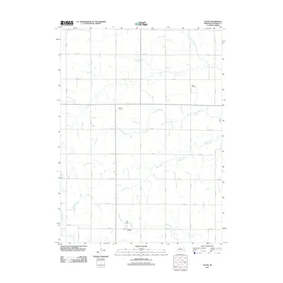
2011 Map of Touhy
USGS Topo · Published 2011About this map
The unincorporated community of Touhy anchors this agricultural landscape in Saunders County, Nebraska. This 2011 survey illustrates the rural grid system that defines the region, where a network of gravel and paved roads like Co Rd 27 and Co Road F partition the land into productive farmsteads. Waterways are the primary natural landmarks, with Wahoo Creek and the North Fork Wahoo Creek meandering across the northern and central sections, joined by Dunlap Creek and Rock Creek. These streams have long influenced the siting of early settlements and agricultural boundaries. For those researching local heritage, the map identifies three significant burial grounds: Saint Vitus Cemetery near the Touhy townsite, Bethel Cemetery to the northeast, and the National Cemetery situated centrally. These sites serve as enduring connections to the Czech and European immigrant families who established the agrarian foundations of the county.
Find a feature on this map
31 named features on this map. Tap any name to fly to it.
Don’t see what you’re looking for? This feature index may not catch every label — zoom into the map to look around manually.
Map Details
Editions of this 2011 Touhy Map
This is the sole edition of this map. No revisions or reprints were ever made.
Other maps of this area

1899 · Wahoo
USGS Topo · 1:125,000

1955 · Fremont
USGS Topo · 1:250,000

1957 · Fremont
USGS Topo · 1:250,000

1958 · Fremont
USGS Topo · 1:250,000

1968 · Bruno
USGS Topo · 1:24,000
1969 · Malmo
USGS Topo · 1:24,000
1969 · Touhy
USGS Topo · 1:24,000
1969 · Valparaiso SW
USGS Topo · 1:24,000
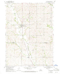
1969 · Valparaiso
USGS Topo · 1:24,000
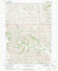
1969 · Loma
USGS Topo · 1:24,000