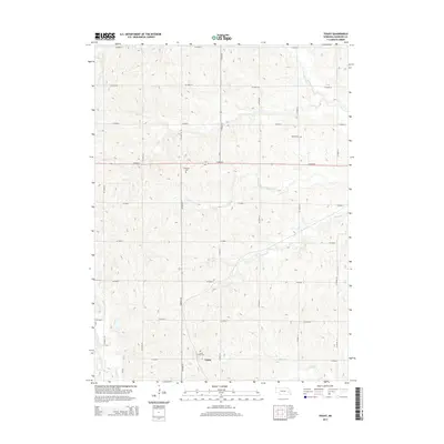
2014 Map of Touhy
USGS Topo · Published 2014About this map
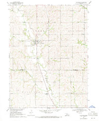
Touhy sits at the heart of this agricultural landscape in Saunders County, where a highly organized grid of county roads defines the upland territory between several significant drainage systems. The town is flanked by the Saint Vitus Cem to the north, reflecting the area's local heritage. Further north, the landscape is punctuated by other burial grounds including Bethel Cem and National Cem, which serve as permanent markers of early settlement patterns. The terrain is deeply carved by numerous waterways that migrate through the fields, most notably Wahoo Cr, Dunlap Cr, and Rock Cr. This network of creeks creates a complex drainage pattern that has historically shaped the placement of farmsteads and the orientation of transit routes like Co Road K, which cuts a straight line across the rolling prairie topography.
Find a feature on this map
26 named features on this map. Tap any name to fly to it.
Don’t see what you’re looking for? This feature index may not catch every label — zoom into the map to look around manually.
Map Details
Editions of this 2014 Touhy Map
This is the sole edition of this map. No revisions or reprints were ever made.
Other maps of this area

1899 · Wahoo
USGS Topo · 1:125,000

1955 · Fremont
USGS Topo · 1:250,000

1957 · Fremont
USGS Topo · 1:250,000

1958 · Fremont
USGS Topo · 1:250,000

1968 · Bruno
USGS Topo · 1:24,000
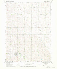
1969 · Malmo
USGS Topo · 1:24,000
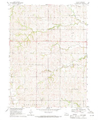
1969 · Touhy
USGS Topo · 1:24,000
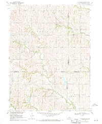
1969 · Valparaiso SW
USGS Topo · 1:24,000
1969 · Valparaiso
USGS Topo · 1:24,000
1969 · Loma
USGS Topo · 1:24,000