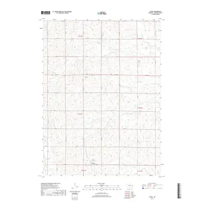
2017 Map of Touhy
USGS Topo · Published 2017About this map
Touhy sits at the heart of this Saunders County landscape, where the intersection of Green St and various county roads defines the local geography. The area's cultural history is marked by several burial grounds, including Saint Vitus Cem located just north of the town center, and the more remote Bethel Cem and National Cem to the north. These sites serve as quiet anchors for genealogical research in this part of Nebraska.
Find a feature on this map
36 named features on this map. Tap any name to fly to it.
Don’t see what you’re looking for? This feature index may not catch every label — zoom into the map to look around manually.
Map Details
Editions of this 2017 Touhy Map
This is the sole edition of this map. No revisions or reprints were ever made.
Other maps of this area

1899 · Wahoo
USGS Topo · 1:125,000

1955 · Fremont
USGS Topo · 1:250,000

1957 · Fremont
USGS Topo · 1:250,000

1958 · Fremont
USGS Topo · 1:250,000

1968 · Bruno
USGS Topo · 1:24,000
1969 · Malmo
USGS Topo · 1:24,000
1969 · Touhy
USGS Topo · 1:24,000
1969 · Valparaiso SW
USGS Topo · 1:24,000
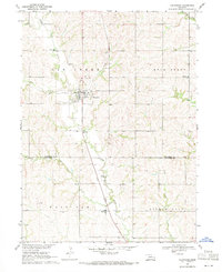
1969 · Valparaiso
USGS Topo · 1:24,000
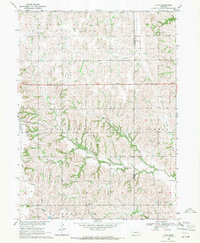
1969 · Loma
USGS Topo · 1:24,000