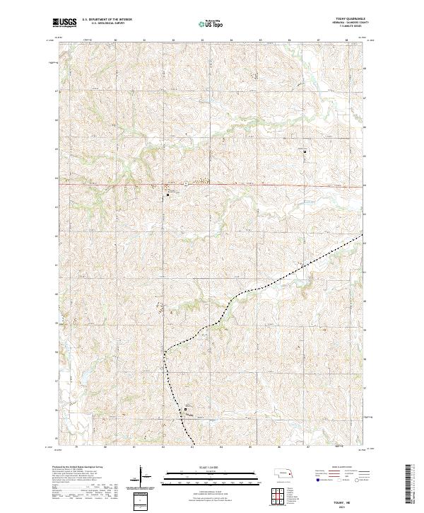
2021 Map of Touhy
USGS Topo · Published 2021About this map
The settlement of Touhy anchors the southern portion of this Saunders County landscape, where the agricultural grid meets the winding drainages of the Platte River basin. This survey illustrates the cultural heritage of the region through its community landmarks, notably the National Bohemian Cem and Saint Vitus Cem, reflecting the area's Central European immigrant roots. The terrain is defined by the branching network of Wahoo Cr and its tributaries, including Dunlap Cr and N Fork Wahoo Cr, which carve through the loess hills. These waterways, along with features like Hunters Slough, create a distinctive contrast between the surveyed section lines of the local road system and the natural topography of the eastern Nebraska plains.
Find a feature on this map
34 named features on this map. Tap any name to fly to it.
Don’t see what you’re looking for? This feature index may not catch every label — zoom into the map to look around manually.
Map Details
Editions of this 2021 Touhy Map
This is the sole edition of this map. No revisions or reprints were ever made.
Other maps of this area

1899 · Wahoo
USGS Topo · 1:125,000

1955 · Fremont
USGS Topo · 1:250,000

1957 · Fremont
USGS Topo · 1:250,000

1958 · Fremont
USGS Topo · 1:250,000

1968 · Bruno
USGS Topo · 1:24,000
1969 · Malmo
USGS Topo · 1:24,000
1969 · Touhy
USGS Topo · 1:24,000
1969 · Valparaiso SW
USGS Topo · 1:24,000
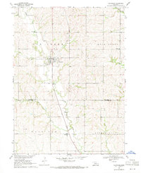
1969 · Valparaiso
USGS Topo · 1:24,000
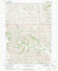
1969 · Loma
USGS Topo · 1:24,000