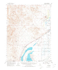
1956 Map of Toulon
USGS Topo · Published 1980About this map
The Trinity Range dominates the western half of this Nevada landscape, descending toward the high-desert waters of Humboldt Lake and the Humboldt Sink. This mid-century survey documents a transitional water-and-rail economy, where the Southern Pacific railroad runs parallel to an extensive system of irrigation and drainage infrastructure, including the Lake Drain and Westfall Drain. Local industry is centered around mining and ranching, evidenced by the Coon Can Mines tucked into the hills and the Arobio Ranch in the flats.
Find a feature on this map
45 named features on this map. Tap any name to fly to it.
Don’t see what you’re looking for? This feature index may not catch every label — zoom into the map to look around manually.
Map Details
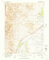
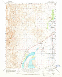
Editions of this 1956 Toulon Map
4 editions found
Other maps of this area

1908 · Carson Sink
USGS Topo · 1:250,000

1910 · Carson Sink
USGS Topo · 1:250,000

1931 · Lovelock
USGS Topo · 1:250,000

1935 · Lovelock
USGS Topo · 1:250,000

1951 · Carson Sink
USGS Topo · 1:62,500

1951 · Desert Peak
USGS Topo · 1:62,500

1955 · Lovelock
USGS Topo · 1:250,000

1956 · Oreana
USGS Topo · 1:62,500

1956 · Toulon
USGS Topo · 1:62,500

1956 · Lovelock
USGS Topo · 1:62,500