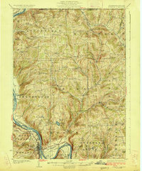
1926 Map of Towanda
USGS Topo · Published 1926About this map
The Susquehanna River defines the western edge of this Bradford County landscape, where the Lehigh Valley Railroad hugs the riverbanks to serve the industrial hub of Towanda. The interior of the quadrangle is dominated by a dense network of upland drainage basins, including Wysox Creek and Wappasening Creek, which carve through the high ridges. This 1920s topography reveals a deeply rural settlement pattern organized around family-named schools and crossroads.
Find a feature on this map
80 named features on this map. Tap any name to fly to it.
Don’t see what you’re looking for? This feature index may not catch every label — zoom into the map to look around manually.
Map Details
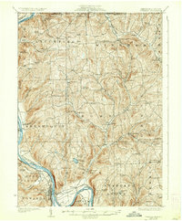
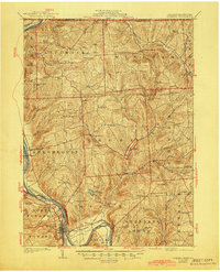
Editions of this 1926 Towanda Map
4 editions found
Other maps of this area

1901 · Apalachin
USGS Topo · 1:62,500

1902 · Waverly
USGS Topo · 1:62,500

1903 · Owego
USGS Topo · 1:62,500

1904 · Apalachin
USGS Topo · 1:62,500

1905 · Watkins Glen
USGS Topo · 1:125,000

1906 · Catatonk
USGS Topo · 1:125,000

1923 · Towanda
USGS Topo · 1:62,500

1926 · Towanda
USGS Topo · 1:62,500

1939 · Sayre
USGS Topo · 1:62,500

1942 · Sayre
USGS Topo · 1:62,500