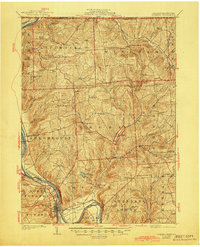
1926 Map of Towanda
USGS Topo · Published 1944About this map
Towanda and its surroundings in Bradford County serve as a focal point where the Susquehanna River bends sharply near East Towanda. The landscape in the 1920s was defined by a dense network of rural schoolhouses and small agricultural townships, including Rome, Orwell, and Litchfield. The Lehigh Valley RR follows the river’s course, supporting the region's transport needs alongside waterways like Wysox Creek and Wappasening Creek.
Find a feature on this map
81 named features on this map. Tap any name to fly to it.
Don’t see what you’re looking for? This feature index may not catch every label — zoom into the map to look around manually.
Map Details
Editions of this 1926 Towanda Map
4 editions found
Other maps of this area

1901 · Apalachin
USGS Topo · 1:62,500

1902 · Waverly
USGS Topo · 1:62,500

1903 · Owego
USGS Topo · 1:62,500

1904 · Apalachin
USGS Topo · 1:62,500

1905 · Watkins Glen
USGS Topo · 1:125,000

1906 · Catatonk
USGS Topo · 1:125,000

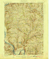
1923 · Towanda
USGS Topo · 1:62,500

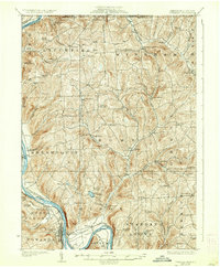
1926 · Towanda
USGS Topo · 1:62,500

1939 · Sayre
USGS Topo · 1:62,500

1942 · Sayre
USGS Topo · 1:62,500