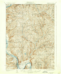
1926 Map of Towanda
USGS Topo · Published 1937About this map
Towanda and the surrounding riverfront townships are defined by the broad curves of the Susquehanna River and the industrial backbone of the Lehigh Valley Railroad. In the 1920s, this portion of Bradford County supported a dense network of upland rural schools, including Cottonhollow School, White School, and Shores Hill School, many situated miles from the central river towns. The settlement pattern follows the fertile valleys carved by Wysox Creek and Wappasening Creek, where small hamlets like Rome, Litchfield, and Windham Center served as local hubs. Along the river, Bald Eagle Island and East Towanda illustrate the historical importance of the waterway and rail corridor for commerce and travel between New York and Pennsylvania. Higher elevations feature landmarks like Lake Wesauking and Tamarack Pond, highlighting the varied terrain that separated these early agricultural and industrial communities.
Find a feature on this map
87 named features on this map. Tap any name to fly to it.
Don’t see what you’re looking for? This feature index may not catch every label — zoom into the map to look around manually.
Map Details
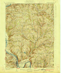
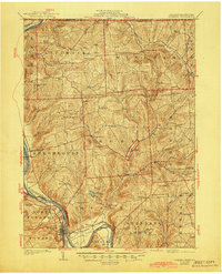
Editions of this 1926 Towanda Map
4 editions found
Other maps of this area

1901 · Apalachin
USGS Topo · 1:62,500

1902 · Waverly
USGS Topo · 1:62,500

1903 · Owego
USGS Topo · 1:62,500

1904 · Apalachin
USGS Topo · 1:62,500

1905 · Watkins Glen
USGS Topo · 1:125,000

1906 · Catatonk
USGS Topo · 1:125,000

1923 · Towanda
USGS Topo · 1:62,500

1926 · Towanda
USGS Topo · 1:62,500

1939 · Sayre
USGS Topo · 1:62,500

1942 · Sayre
USGS Topo · 1:62,500