
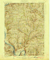
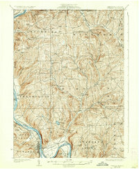
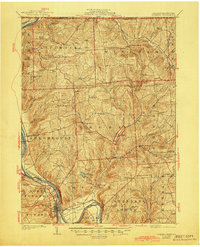
1926 Map of Towanda
USGS Topo · Published 1926About this map
The Susquehanna River defines the western edge of this landscape, carving through Bradford County just south of the New York state line. In the mid-1920s, the region was a dense network of rural school districts and small agricultural settlements, reflecting a period before the consolidation of rural education and the widespread expansion of larger municipalities. From the riverfront hub of Towanda and East Towanda, the terrain rises into the rolling uplands of Litchfield, Rome, and Orwell townships.
Find a feature on this map
87 named features on this map. Tap any name to fly to it.
Don’t see what you’re looking for? This feature index may not catch every label — zoom into the map to look around manually.
Map Details
Editions of this 1926 Towanda Map
4 editions found
Other maps of this area

1901 · Apalachin
USGS Topo · 1:62,500

1902 · Waverly
USGS Topo · 1:62,500

1903 · Owego
USGS Topo · 1:62,500

1904 · Apalachin
USGS Topo · 1:62,500

1905 · Watkins Glen
USGS Topo · 1:125,000

1906 · Catatonk
USGS Topo · 1:125,000

1923 · Towanda
USGS Topo · 1:62,500

1939 · Sayre
USGS Topo · 1:62,500

1942 · Sayre
USGS Topo · 1:62,500

1943 · Towanda
USGS Topo · 1:62,500