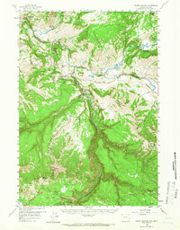
1959 Map of Tower Junction
USGS Topo · Published 1966About this map
The confluence of the Yellowstone River and Lamar River anchors this 1950s study of northern Yellowstone National Park. This portion of the park is defined by a dense concentration of early ranger stations and lodges that supported the era's growing tourism and conservation efforts. From the busy hub at Tower Junction and the rustic Roosevelt Lodge to the more remote Slough Creek Patrol Cabins, the map reveals the infrastructure of mid-century wilderness management. Notable geological landmarks like the Petrified Tree and the sheer drop of Tower Fall are documented alongside the Grand Canyon of the Yellowstone, which carves southward toward Mount Washburn. This survey captures the landscape just after the mid-century period of facility expansion, highlighting the established Grand Loop Road and the winding Howard Eaton Trail.
Find a feature on this map
60 named features on this map. Tap any name to fly to it.
Don’t see what you’re looking for? This feature index may not catch every label — zoom into the map to look around manually.
Map Details
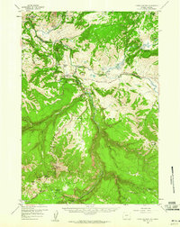
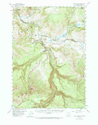
Editions of this 1959 Tower Junction Map
3 editions found
Other maps of this area

1885 · Gallatin
USGS Topo · 1:125,000

1885 · Gallatin
USGS Topo · 1:125,000

1886 · Canyon
USGS Topo · 1:125,000

1891 · Livingston
USGS Topo · 1:250,000

1893 · Livingston
USGS Topo · 1:250,000

1895 · Canyon
USGS Topo · 1:125,000

1896 · Canyon
USGS Topo · 1:125,000

1901 · Canyon
USGS Topo · 1:125,000

1901 · Gallatin
USGS Topo · 1:125,000

1907 · Canyon
USGS Topo · 1:125,000