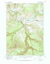
1959 Map of Tower Junction
USGS Topo · Published 1984About this map
The dramatic confluence of the Lamar River and the Yellowstone River anchors this 1959 field-checked survey of the northern interior of Yellowstone National Park. Centered on Tower Junction, the map details a landscape defined by thermal activity and steep vertical relief, from the heights of Mount Washburn to the deep incision of the Black Canyon of the Yellowstone. Early park infrastructure is well-documented, including the Roosevelt Lodge complex and remote outposts like the Hellroaring Ranger Sta and Slough Creek Patrol Cabins.
Find a feature on this map
62 named features on this map. Tap any name to fly to it.
Don’t see what you’re looking for? This feature index may not catch every label — zoom into the map to look around manually.
Map Details
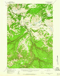
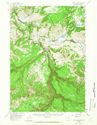
Editions of this 1959 Tower Junction Map
3 editions found
Other maps of this area

1885 · Gallatin
USGS Topo · 1:125,000

1885 · Gallatin
USGS Topo · 1:125,000

1886 · Canyon
USGS Topo · 1:125,000

1891 · Livingston
USGS Topo · 1:250,000

1893 · Livingston
USGS Topo · 1:250,000

1895 · Canyon
USGS Topo · 1:125,000

1896 · Canyon
USGS Topo · 1:125,000

1901 · Canyon
USGS Topo · 1:125,000

1901 · Gallatin
USGS Topo · 1:125,000

1907 · Canyon
USGS Topo · 1:125,000