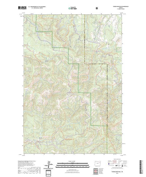
2023 Map of Tower Mountain
USGS Topo · Published 2023About this map
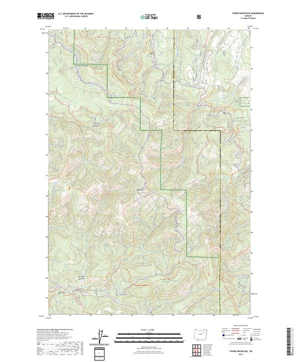
Tower Mtn rises as the central landmark within a landscape defined by the overlapping boundaries of the Umatilla National Forest, Whitman National Forest, and the North Fork John Day Wilderness. This modern survey illustrates the intricate drainage systems and alpine openings that characterize the Blue Mountains at the Umatilla and Union County line. The terrain is marked by high-elevation grazing areas like Frazier Meadow and Big Creek Meadow, connected by an extensive network of specialized tracks including the Tower Mtn Road 5226 Trl and the Ukiah-Granite Road 52 Trl. A complex system of off-highway vehicle and snowmobile routes, such as the Tin Trough-Tony Vey Snowmobile Trl, underscores the contemporary management of this wilderness for recreation and conservation. Water sources like Reno Spring and Lookout Spring serve as vital points in this high-country environment.
Find a feature on this map
50 named features on this map. Tap any name to fly to it.
Don’t see what you’re looking for? This feature index may not catch every label — zoom into the map to look around manually.
Map Details
Editions of this 2023 Tower Mountain Map
2 editions found
Other maps of this area

1901 · Sumpter
USGS Topo · 1:125,000

1951 · Desolation Butte
USGS Topo · 1:62,500

1953 · Pendleton
USGS Topo · 1:250,000

1955 · Canyon City
USGS Topo · 1:250,000

1956 · Pendleton
USGS Topo · 1:250,000

1959 · Canyon City
USGS Topo · 1:250,000

1965 · Marley Creek
USGS Topo · 1:24,000

1965 · Fly Valley
USGS Topo · 1:24,000

1967 · Tower Mtn
USGS Topo · 1:24,000

1967 · Sullivan Gulch
USGS Topo · 1:24,000