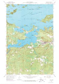
1956 Map of Tower
USGS Topo · Published 1971About this map
Vermilion Lake dominates this mid-century landscape, framing the industrial and recreational life of northeastern Minnesota. The city of Tower and the nearby Tower Junction serve as the primary hubs for the region, where the Duluth Missabe and Iron Range railroad moves resources from sites like the North American Mine. The shoreline is complex, dotted with landmarks such as Hoodoo Point, Birch Point, and the Lakeview Cem. Civil infrastructure of the era is evident in the Tower Municipal Landing Field and the Gaging Station at Swedetown Bay. Much of the northern terrain is managed under the Superior National Forest and Tower-Soudan State Park, while the Vermilion Lake Indian Reservation Boundary delineates local land use. To the south, the settlement of Peyla and a local Town Hall mark the more rural reaches of the quadrangle.
Find a feature on this map
53 named features on this map. Tap any name to fly to it.
Don’t see what you’re looking for? This feature index may not catch every label — zoom into the map to look around manually.
Map Details
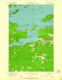
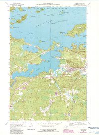
Editions of this 1956 Tower Map
4 editions found
Other maps of this area

1949 · Embarrass
USGS Topo · 1:24,000

1950 · Embarrass
USGS Topo · 1:24,000

1950 · Biwabik NW
USGS Topo · 1:24,000

1950 · Biwabik NE
USGS Topo · 1:24,000

1951 · Biwabik NE
USGS Topo · 1:24,000

1951 · Biwabik NW
USGS Topo · 1:24,000

1954 · Hibbing
USGS Topo · 1:250,000

1956 · Sioux Pine Island
USGS Topo · 1:24,000

1956 · Tower
USGS Topo · 1:24,000

1956 · Vermilion Dam
USGS Topo · 1:24,000