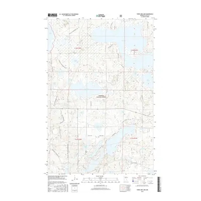
2016 Map of Town Line Lake
USGS Topo · Published 2016About this map
Chippewa National Forest defines the character of this northern landscape, which is heavily saturated with glacial lakes and interconnected waterways. The central feature, Town Line Lake, is surrounded by a dense network of smaller basins such as Crown Lake, Rabbit Lake, and Long Lake. This area of Cass County reflects a primary focus on recreation and conservation, evidenced by the extensive trail systems crossing the terrain. The N Country National Scenic Trail meanders through the eastern portion, while the Triville Gia Snowmobile Trail and Chippewa Gia Snowmobile Trail provide seasonal access through the woods. Genealogists may find interest in Saint Edwards Cem, located near Maple Lake, while the expansive shores of Leech Lake and Boy Lake anchor the northern reaches of the quadrangle. Local roads like Co Rd 126 NE and Harkers Trl NE connect the scattered points of interest within the forest boundary.
Find a feature on this map
52 named features on this map. Tap any name to fly to it.
Don’t see what you’re looking for? This feature index may not catch every label — zoom into the map to look around manually.
Map Details
Editions of this 2016 Town Line Lake Map
This is the sole edition of this map. No revisions or reprints were ever made.
Other maps of this area

1953 · Brainerd
USGS Topo · 1:250,000

1954 · Bemidji
USGS Topo · 1:250,000

1957 · Brainerd
USGS Topo · 1:250,000

1957 · Bemidji
USGS Topo · 1:250,000

1958 · Bemidji
USGS Topo · 1:250,000

1958 · Brainerd
USGS Topo · 1:250,000

1965 · Brainerd
USGS Topo · 1:250,000

1970 · Laura Lake
USGS Topo · 1:24,000

1970 · Woman Lake
USGS Topo · 1:24,000
1971 · Longville
USGS Topo · 1:24,000