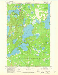
1971 Map of Longville
USGS Topo · Published 1973About this map
Longville serves as the central hub of this lake-studded landscape within the Chippewa National Forest during the early 1970s. The settlement's layout is defined by its proximity to Girl Lake and includes essential local infrastructure such as the Longville Municipal Airport, Longville Lookout Tower, and a Townhall. This period reflects a well-established recreational and civic geography, where the Boy River connects larger bodies like Little Boy Lake and Rice Lake.
Find a feature on this map
48 named features on this map. Tap any name to fly to it.
Don’t see what you’re looking for? This feature index may not catch every label — zoom into the map to look around manually.
Map Details
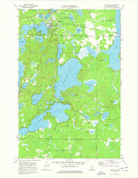
Editions of this 1971 Longville Map
2 editions found
Other maps of this area

1953 · Brainerd
USGS Topo · 1:250,000

1954 · Bemidji
USGS Topo · 1:250,000

1957 · Brainerd
USGS Topo · 1:250,000

1957 · Bemidji
USGS Topo · 1:250,000

1958 · Bemidji
USGS Topo · 1:250,000

1958 · Brainerd
USGS Topo · 1:250,000

1965 · Brainerd
USGS Topo · 1:250,000

1970 · Laura Lake
USGS Topo · 1:24,000
1970 · Mitchell Lake
USGS Topo · 1:24,000

1970 · Woman Lake
USGS Topo · 1:24,000