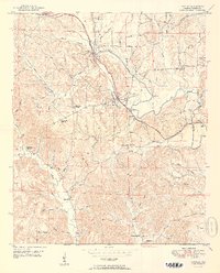
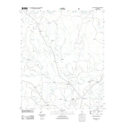
1949 Map of Townley
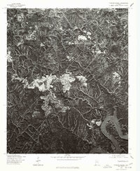
USGS Topo · Published 1977About this map
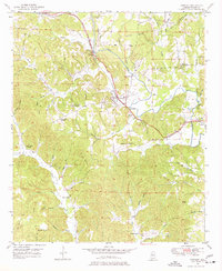
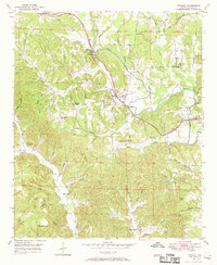
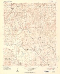
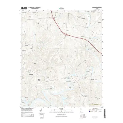
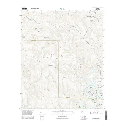
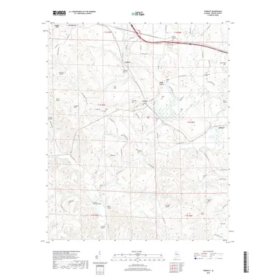
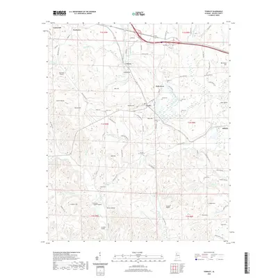
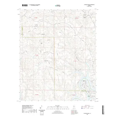
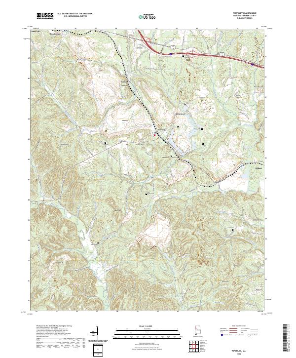
Townley serves as the central hub of this Walker County landscape, situated where the ST Louis San Francisco RR and the Bankhead Highway intersect. The 1949 terrain is defined by a dense network of family-named hollows and ridges, such as Gum Suck Hollow and Pike Hill, reflecting a deep history of rural settlement. A Strip Mine north of Townley and areas marked Inactive in the southern reaches point to the area's coal-mining heritage.
Find a feature on this map
61 named features on this map. Tap any name to fly to it.
Don’t see what you’re looking for? This feature index may not catch every label — zoom into the map to look around manually.
Map Details
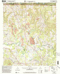
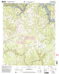
Editions of this 1949 Townley Map
3 editions found
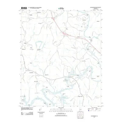
Historical Maps of Carbon Hill Through Time
38 maps found
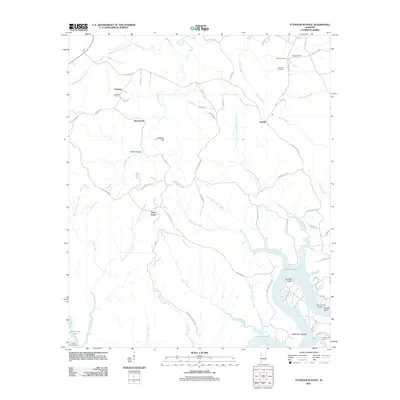
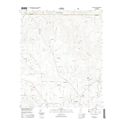
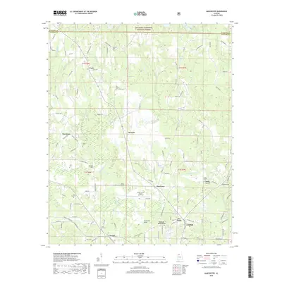
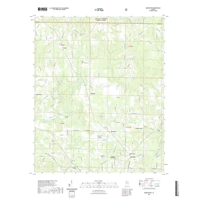
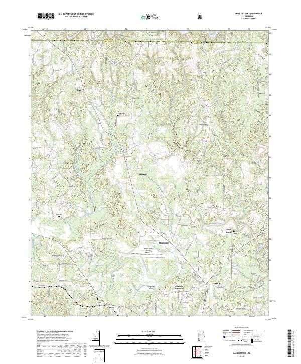
1949 Manchester
Walker County, AL
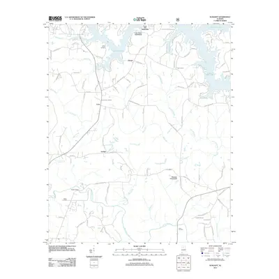
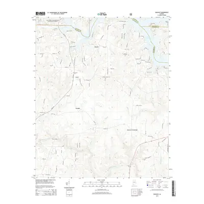
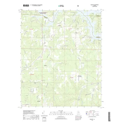
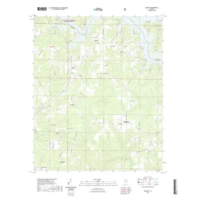
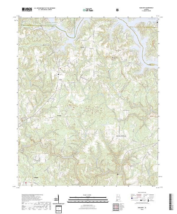
1949 Sunlight
Walker County, AL
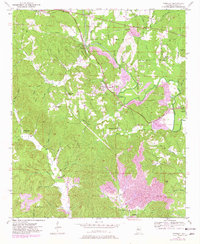
1949 Townley
Walker County, AL
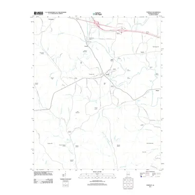
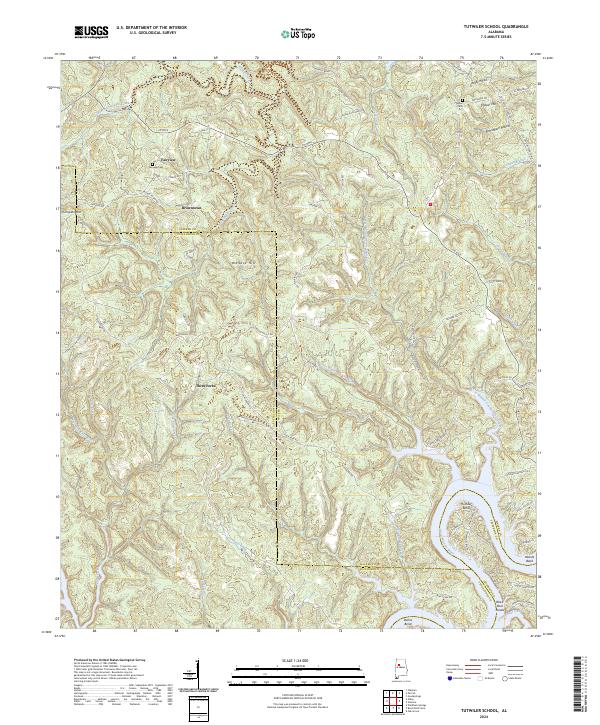
1949 Tutwiler School
Walker County, AL
1950 Manchester
Walker County, AL
1951 Sunlight
Walker County, AL
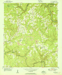
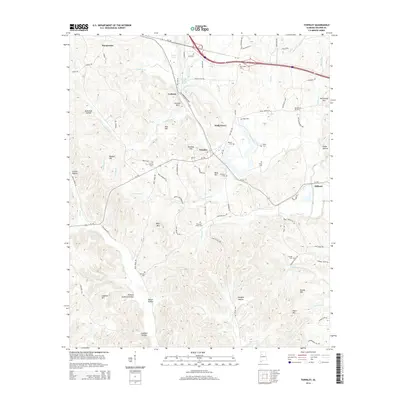
1951 Townley
Walker County, AL
1951 Tutwiler School
Walker County, AL
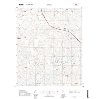
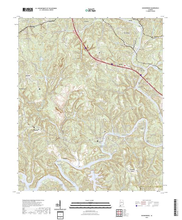
1971 Goodsprings
Walker County, AL
1975 Goodsprings
Walker County, AL
1975 Tutwiler School
Walker County, AL
2000 Manchester
Walker County, AL
2000 Sunlight
Walker County, AL
2011 Goodsprings
Walker County, AL
2011 Manchester
Walker County, AL
2011 Sunlight
Walker County, AL
2011 Townley
Walker County, AL
2011 Tutwiler School
Walker County, AL
2014 Goodsprings
Walker County, AL
2014 Manchester
Walker County, AL
2014 Sunlight
Walker County, AL
2014 Townley
Walker County, AL
2014 Tutwiler School
Walker County, AL
2018 Goodsprings
Walker County, AL
2018 Manchester
Walker County, AL
2018 Sunlight
Walker County, AL
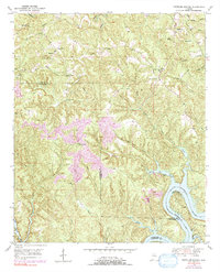
2018 Townley
Walker County, AL
2018 Tutwiler School
Walker County, AL
2020 Goodsprings
Walker County, AL
2020 Townley
Walker County, AL
2020 Tutwiler School
Walker County, AL
2021 Manchester
Walker County, AL
2021 Sunlight
Walker County, AL
2024 Goodsprings
Walker County, AL
2024 Manchester
Walker County, AL
2024 Sunlight
Walker County, AL
2024 Townley
Walker County, AL
2024 Tutwiler School
Walker County, AL