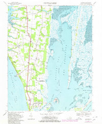
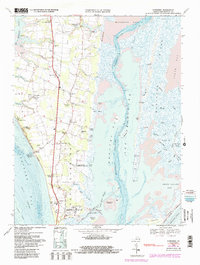
1968 Map of Townsend
USGS Topo · Published 1980About this map
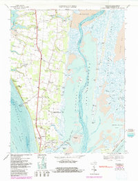
The southern tip of the Eastern Shore in Northampton Co. reveals a landscape defined by maritime activity and military presence during the late 1960s. The coastline along Chesapeake Bay features significant infrastructure such as Kiptopeke Beach and the rail-connected Latimer Siding, which supported the region's transport networks before further modernization. Inland, the rural character is anchored by established settlements like Townsend, Cheapside, and Cedar Grove, interspersed with numerous cemeteries and the Lower Northampton Ch.
Find a feature on this map
76 named features on this map. Tap any name to fly to it.
Don’t see what you’re looking for? This feature index may not catch every label — zoom into the map to look around manually.
Map Details
Editions of this 1968 Townsend Map
6 editions found
Other maps of this area

1942 · Cheriton
USGS Topo · 1:24,000

1942 · Cobb Island
USGS Topo · 1:24,000

1943 · Elliots Creek
USGS Topo · 1:25,000

1943 · Townsend
USGS Topo · 1:24,000

1943 · Richmond
USGS Topo · 1:250,000

1946 · Eastville
USGS Topo · 1:250,000

1948 · Cape Charles
USGS Topo · 1:24,000

1949 · Richmond
USGS Topo · 1:250,000
1953 · Ship Shoal Inlet
USGS Topo · 1:24,000
1955 · Elliotts Creek
USGS Topo · 1:24,000