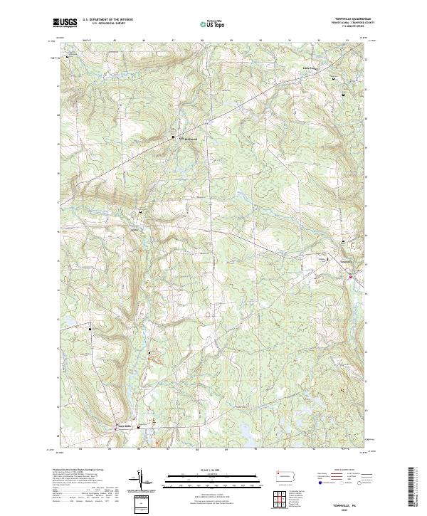
2023 Map of Townville
USGS Topo · Published 2023About this map
Townville serves as the primary hub in this corner of Crawford County, where the convergence of Mercer Rd and S Main St anchors the local community. The landscape is defined by the winding paths of Muddy Creek and Woodcock Creek, which cut through a terrain marked by small, long-standing settlements and family-named roads. For those researching local lineages, the map is remarkably dense with burial sites including Hatch Cem, Union Cem, and Radle Cem, scattered near the rural junctions of Guys Mills and Lyona. The drainage patterns of Beaver Run and Sugar Creek illustrate the natural irrigation that supported the development of these small agricultural hamlets. Roads like John Brown Rd and Greytown Hills Rd trace the historical routes connecting isolated farmsteads to the larger villages of Little Cooley and New Richmond.
Find a feature on this map
66 named features on this map. Tap any name to fly to it.
Don’t see what you’re looking for? This feature index may not catch every label — zoom into the map to look around manually.
Map Details
Editions of this 2023 Townville Map
This is the sole edition of this map. No revisions or reprints were ever made.
Other maps of this area

1923 · Meadville
USGS Topo · 1:62,500

1923 · Cambridge Springs
USGS Topo · 1:62,500

1925 · Meadville
USGS Topo · 1:62,500

1925 · Cambridge Springs
USGS Topo · 1:62,500

1927 · Townville
USGS Topo · 1:48,000

1929 · Union City
USGS Topo · 1:62,500

1932 · Townville
USGS Topo · 1:62,500

1932 · Union City
USGS Topo · 1:62,500

1943 · Meadville
USGS Topo · 1:62,500

1943 · Cambridge Springs
USGS Topo · 1:62,500