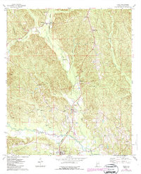
1974 Map of Toxey
USGS Topo · Published 1987About this map
Toxey and Gilbertown anchor this mid-1970s landscape in southern Choctaw County, where the local economy was shaped by the Burlington Northern railroad and the Toxey Oil Field. A significant historical landmark, the Indian Treaty Boundary, cuts through the center of the map, providing a tangible reference to early land agreements in Alabama. The terrain is a network of ridges and watercourses like Bogueloosa Creek and Okatuppa Creek, punctuated by several community gathering points such as the Bonner Tabernacle and Old Look Tabernacle.
Find a feature on this map
45 named features on this map. Tap any name to fly to it.
Don’t see what you’re looking for? This feature index may not catch every label — zoom into the map to look around manually.
Map Details
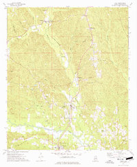
Editions of this 1974 Toxey Map
2 editions found
Other maps of this area

1953 · Hattiesburg
USGS Topo · 1:250,000

1953 · Meridian
USGS Topo · 1:250,000

1957 · Meridian
USGS Topo · 1:250,000

1958 · Hattiesburg
USGS Topo · 1:250,000

1965 · Meridian
USGS Topo · 1:250,000

1971 · Ararat
USGS Topo · 1:24,000

1971 · Coffeeville Lock And Dam
USGS Topo · 1:24,000

1974 · Melvin
USGS Topo · 1:24,000

1974 · Silas
USGS Topo · 1:24,000

1974 · Isney
USGS Topo · 1:24,000