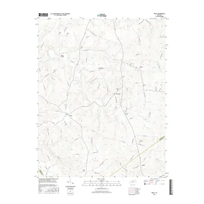
2016 Map of Tracy
USGS Topo · Published 2016About this map
Deeply incised drainages like Peter Creek and Caney Fork define the undulating landscape of south-central Kentucky along the Barren and Monroe county lines. This mid-2010s survey reveals a dispersed rural settlement pattern centered on small communities such as Tracy, Dry Fork, and Etoile. The area is characterized by an extensive network of family-named roads and numerous small burial grounds, including the Kinslow, Bradshaw, and Thomerson cemeteries, which offer significant data for genealogical research. The local economy and infrastructure are reflected in the presence of Adair Airport and a dense web of county routes like Tracy Rd and Cooktown Rd. In the southeastern portion of the map, the Antioch Church Cem serves as a prominent landmark near the community of Lamb, situated among the headwaters of Pikeville Br.
Find a feature on this map
89 named features on this map. Tap any name to fly to it.
Don’t see what you’re looking for? This feature index may not catch every label — zoom into the map to look around manually.
Map Details
Editions of this 2016 Tracy Map
This is the sole edition of this map. No revisions or reprints were ever made.
Other maps of this area

1926 · Scottsville
USGS Topo · 1:62,500

1931 · Lafayette
USGS Topo · 1:62,500

1931 · Red Boiling Springs
USGS Topo · 1:62,500

1953 · Tracy
USGS Topo · 1:24,000

1953 · Temple Hill
USGS Topo · 1:24,000

1953 · Glasgow South
USGS Topo · 1:24,000

1953 · Freedom
USGS Topo · 1:24,000

1954 · Austin
USGS Topo · 1:24,000

1954 · Fountain Run
USGS Topo · 1:24,000

1954 · Gamaliel
USGS Topo · 1:24,000