
1967 Map of Tracy East
USGS Topo · Published 1968About this map
The town of Tracy serves as the regional anchor on this 1967 survey, where the Chicago and North Western railroad cuts across the agricultural landscape of Springdale and Monroe townships. The map details a transition from municipal infrastructure, such as the Tracy Municipal Airport and Tracy Cemetery, to the drainage-heavy topography of the surrounding prairies. This hydraulic management is visible through the engineering of Judicial Ditch No 20A and Judicial Ditch No 28, which modify the natural courses of Plum Creek and Willow Creek.
Find a feature on this map
22 named features on this map. Tap any name to fly to it.
Don’t see what you’re looking for? This feature index may not catch every label — zoom into the map to look around manually.
Map Details
Editions of this 1967 Tracy East Map
This is the sole edition of this map. No revisions or reprints were ever made.
Other maps of this area

1953 · New Ulm
USGS Topo · 1:250,000

1957 · New Ulm
USGS Topo · 1:250,000

1958 · New Ulm
USGS Topo · 1:250,000

1962 · Milroy SE
USGS Topo · 1:24,000

1962 · Amiret
USGS Topo · 1:24,000

1967 · New Ulm
USGS Topo · 1:250,000

1967 · Walnut Grove
USGS Topo · 1:24,000
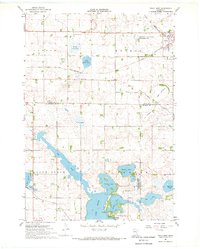
1967 · Tracy West
USGS Topo · 1:24,000

1967 · Dovray
USGS Topo · 1:24,000
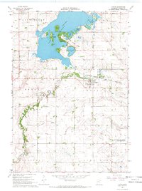
1967 · Currie
USGS Topo · 1:24,000