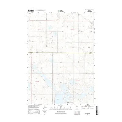
2016 Map of Tracy West
USGS Topo · Published 2016About this map
The Coteau des Prairies plateau forms the backdrop for this agricultural landscape along the border of Lyon and Murray Counties. In the north, the settlement of Tracy serves as a local hub, while the southern portion of the map is defined by a dense network of water bodies known collectively as The Lakes. This hydrologic system includes Lake Shetek, Fremont Lake, and Bloody Lake, which feed the headwaters of the Des Moines River. Historical land use is visible through the drainage of areas like the Sigel Lakebed and Jim Lakebed, reflecting the conversion of wetlands into productive farmland. Genealogists can locate family resting places at Rialson Cem near the eastern boundary or Holland Cem centrally located near the N Twin Lake and S Twin Lake pair. The small community of Owanka sits at the southern edge, anchoring the recreational and residential clusters that have developed around the shoreline of Lake Shetek.
Find a feature on this map
58 named features on this map. Tap any name to fly to it.
Don’t see what you’re looking for? This feature index may not catch every label — zoom into the map to look around manually.
Map Details
Editions of this 2016 Tracy West Map
This is the sole edition of this map. No revisions or reprints were ever made.
Other maps of this area

1953 · New Ulm
USGS Topo · 1:250,000

1957 · New Ulm
USGS Topo · 1:250,000

1958 · New Ulm
USGS Topo · 1:250,000

1962 · Milroy SE
USGS Topo · 1:24,000

1962 · Amiret
USGS Topo · 1:24,000

1963 · Marshall SE
USGS Topo · 1:24,000

1967 · New Ulm
USGS Topo · 1:250,000

1967 · Balaton
USGS Topo · 1:24,000

1967 · Tracy East
USGS Topo · 1:24,000

1967 · Hadley
USGS Topo · 1:24,000