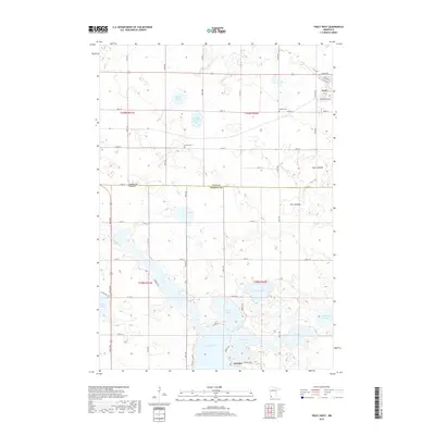
2019 Map of Tracy West
USGS Topo · Published 2019About this map
Tracy anchors the northeastern corner of this prairie landscape, where the town street grid meets the expansive agricultural fields of the Coteau des Prairies. The terrain is defined by a dense network of glacial lakes and wetlands, including Lake Shetek, Fremont Lake, and the evocative Bloody Lake. These waters form the headwaters of the Des Moines River, which winds through the southwestern portion of the quadrangle.
Find a feature on this map
58 named features on this map. Tap any name to fly to it.
Don’t see what you’re looking for? This feature index may not catch every label — zoom into the map to look around manually.
Map Details
Editions of this 2019 Tracy West Map
This is the sole edition of this map. No revisions or reprints were ever made.
Other maps of this area

1953 · New Ulm
USGS Topo · 1:250,000

1957 · New Ulm
USGS Topo · 1:250,000

1958 · New Ulm
USGS Topo · 1:250,000

1962 · Milroy SE
USGS Topo · 1:24,000

1962 · Amiret
USGS Topo · 1:24,000

1963 · Marshall SE
USGS Topo · 1:24,000

1967 · New Ulm
USGS Topo · 1:250,000

1967 · Balaton
USGS Topo · 1:24,000

1967 · Tracy East
USGS Topo · 1:24,000

1967 · Hadley
USGS Topo · 1:24,000