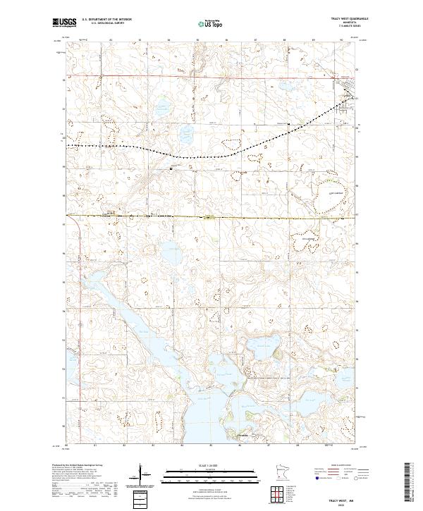
2022 Map of Tracy West
USGS Topo · Published 2022About this map
Lake Shetek and its surrounding water bodies dominate the southern landscape of this Murray County survey, where the glacial legacy of the Coteau des Prairies is clearly visible in the undulating terrain and numerous prairie potholes. The map reveals a complex aquatic network including The Inlet, Fremont Lake, and Bloody Lake, which serve as headwaters for the south-flowing Des Moines River. In the north, the city of Tracy sits at a critical junction of local roads near the Lyon County line, while smaller named locations like Owanka and the Holland Cem mark the rural township grids. Genealogists and local historians can trace the transition from open water to dry land through features like Jim Lakebed and Sigel Lakebed, illustrating the changing hydrology of this agricultural region.
Find a feature on this map
58 named features on this map. Tap any name to fly to it.
Don’t see what you’re looking for? This feature index may not catch every label — zoom into the map to look around manually.
Map Details
Editions of this 2022 Tracy West Map
This is the sole edition of this map. No revisions or reprints were ever made.
Other maps of this area

1953 · New Ulm
USGS Topo · 1:250,000

1957 · New Ulm
USGS Topo · 1:250,000

1958 · New Ulm
USGS Topo · 1:250,000

1962 · Milroy SE
USGS Topo · 1:24,000

1962 · Amiret
USGS Topo · 1:24,000

1963 · Marshall SE
USGS Topo · 1:24,000

1967 · New Ulm
USGS Topo · 1:250,000

1967 · Balaton
USGS Topo · 1:24,000

1967 · Tracy East
USGS Topo · 1:24,000

1967 · Hadley
USGS Topo · 1:24,000