2022 Map of Traer
USGS Topo · Published 2022About this map
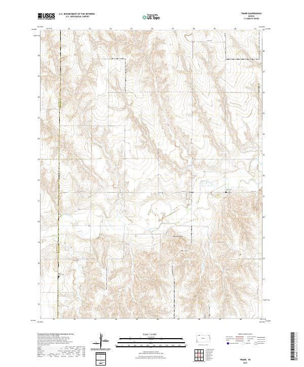
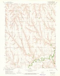
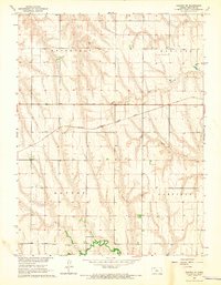
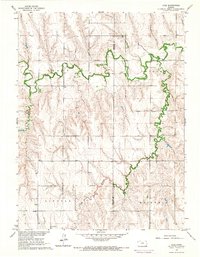
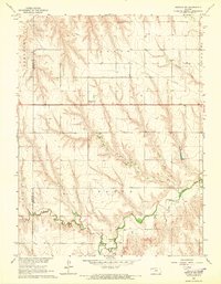
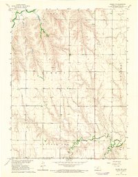
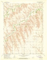
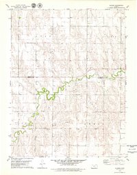
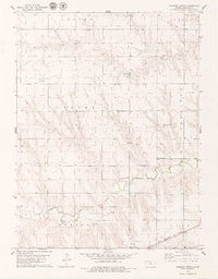
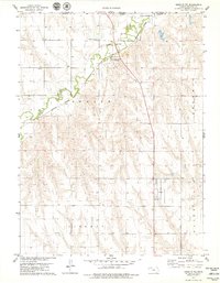
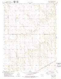
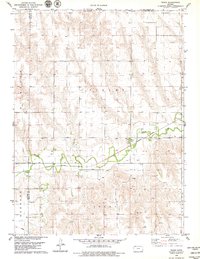
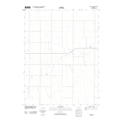
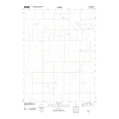
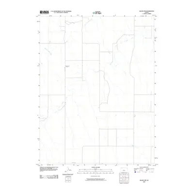
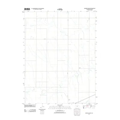
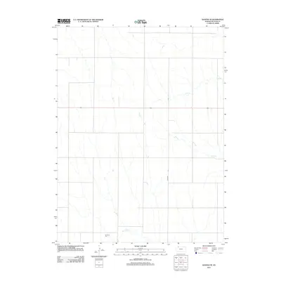
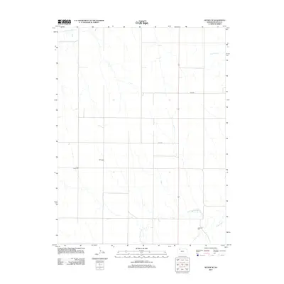
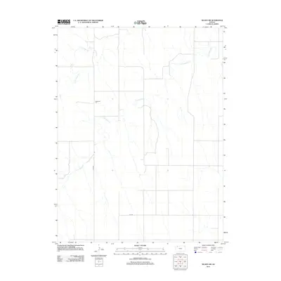
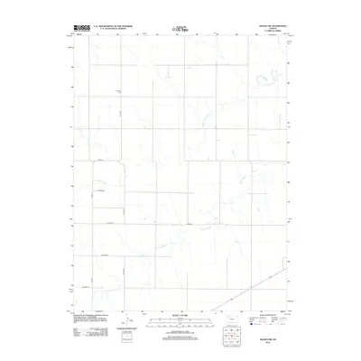
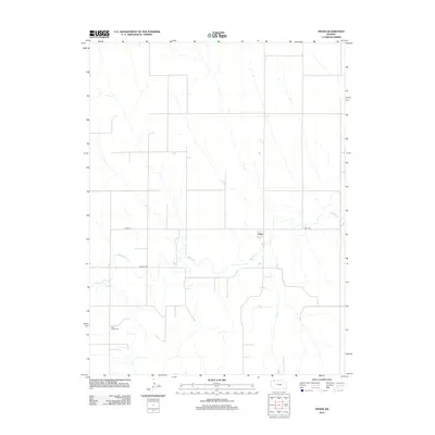
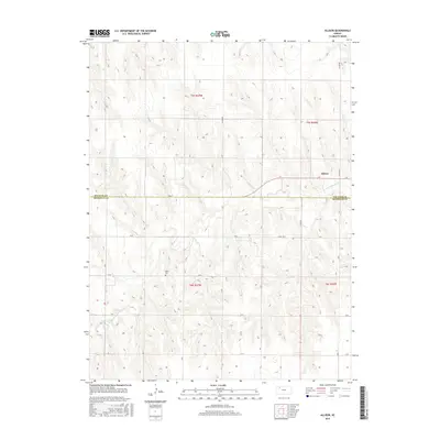
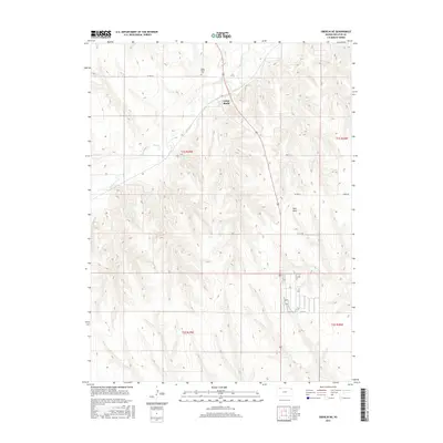
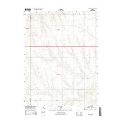
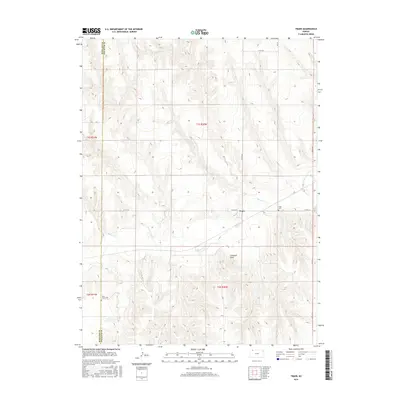
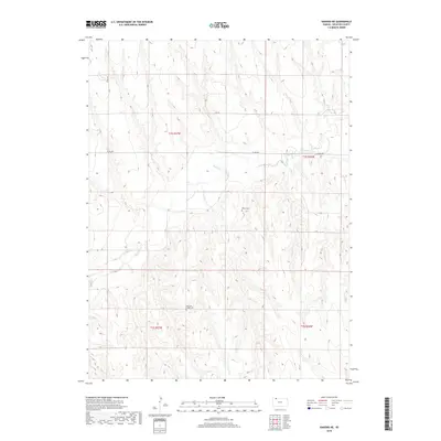
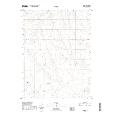
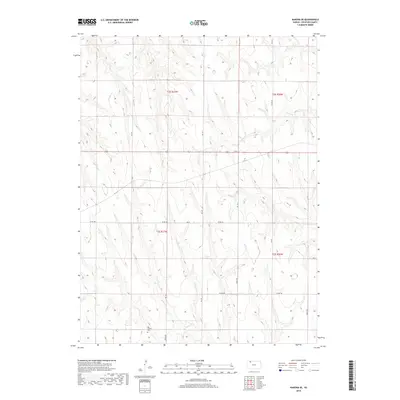
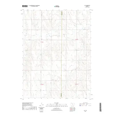
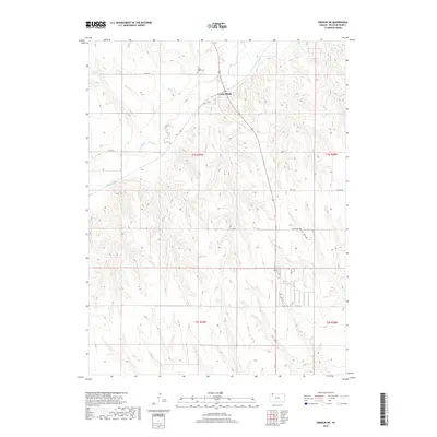
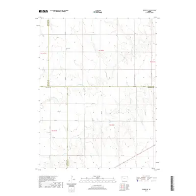
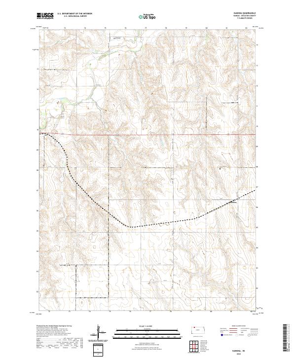
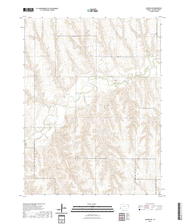
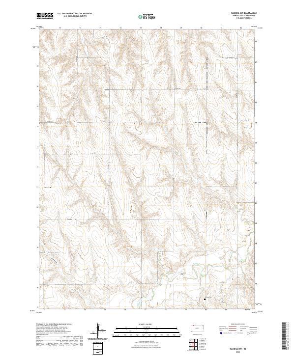
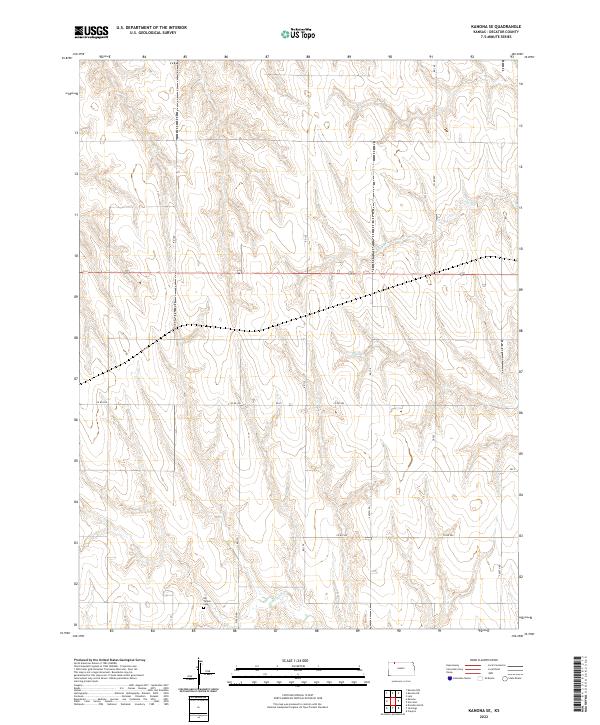
Traer serves as the central hub of this agricultural landscape in northwest Kansas, situated where the high plains are deeply dissected by the winding course of Beaver Cr. The terrain is defined by dramatic elevation changes between the upland plateaus and the creek valley, punctuated by distinctive landmarks like Elephant Rock. For those researching local roots, the map precisely locates the Saint Johns Cem on the western boundary and the Traer Cem just east of the primary settlement. The road network, including Co RD 314 and Co RD 465, follows both the section lines of the Public Land Survey System and the natural contours of the valley, illustrating how transport and settlement patterns have been dictated by the area's geology and the flow of its primary waterway.
Find a feature on this map
14 named features on this map. Tap any name to fly to it.
Don’t see what you’re looking for? This feature index may not catch every label — zoom into the map to look around manually.
Map Details
Editions of this 2022 Traer Map
This is the sole edition of this map. No revisions or reprints were ever made.
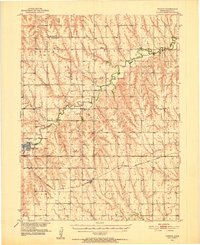
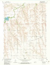
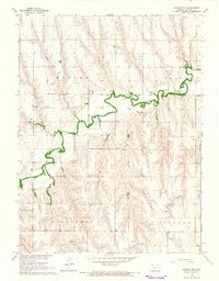
Historical Maps of Traer Through Time
79 maps found
1951 Kanona
Decatur County, KS
1965 Kanona
Decatur County, KS
1965 Kanona NE
Decatur County, KS
1965 Kanona NW
Decatur County, KS
1965 Kanona SE
Decatur County, KS
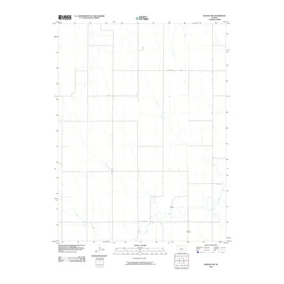
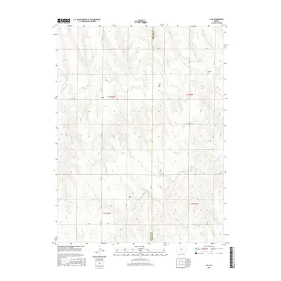
1965 Lyle
Decatur County, KS
1965 Oberlin SW
Decatur County, KS
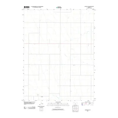
1965 Selden NE
Decatur County, KS
1965 Selden NW
Decatur County, KS
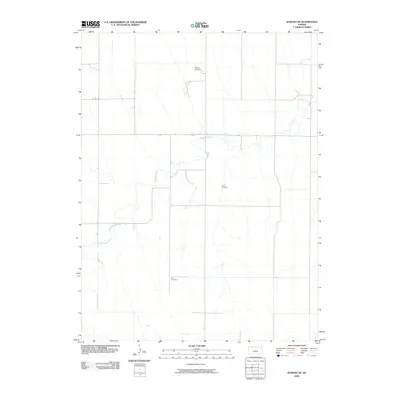
1978 Allison
Decatur County, KS
1978 Dresden North
Decatur County, KS
1978 Oberlin NE
Decatur County, KS
1978 Selden SW
Decatur County, KS
1978 Traer
Decatur County, KS
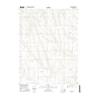
2009 Allison
Decatur County, KS
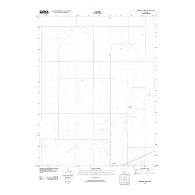
2009 Dresden North
Decatur County, KS

2009 Kanona
Decatur County, KS
2009 Kanona NE
Decatur County, KS
2009 Kanona NW
Decatur County, KS
2009 Kanona SE
Decatur County, KS
2009 Lyle
Decatur County, KS
2009 Oberlin NE
Decatur County, KS
2009 Oberlin SW
Decatur County, KS
2009 Selden NE
Decatur County, KS
2009 Selden NW
Decatur County, KS
2009 Selden SW
Decatur County, KS
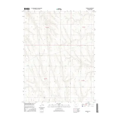
2009 Traer
Decatur County, KS
2012 Allison
Decatur County, KS
2012 Dresden North
Decatur County, KS
2012 Kanona
Decatur County, KS
2012 Kanona NE
Decatur County, KS
2012 Kanona NW
Decatur County, KS
2012 Kanona SE
Decatur County, KS
2012 Lyle
Decatur County, KS
2012 Oberlin NE
Decatur County, KS
2012 Oberlin SW
Decatur County, KS
2012 Selden NE
Decatur County, KS
2012 Selden NW
Decatur County, KS
2012 Selden SW
Decatur County, KS
2012 Traer
Decatur County, KS
2015 Allison
Decatur County, KS
2015 Dresden North
Decatur County, KS
2015 Kanona
Decatur County, KS
2015 Kanona NE
Decatur County, KS
2015 Kanona NW
Decatur County, KS
2015 Kanona SE
Decatur County, KS
2015 Lyle
Decatur County, KS
2015 Oberlin NE
Decatur County, KS
2015 Oberlin SW
Decatur County, KS
2015 Selden NE
Decatur County, KS
2015 Selden NW
Decatur County, KS
2015 Selden SW
Decatur County, KS
2015 Traer
Decatur County, KS
2018 Allison
Decatur County, KS
2018 Dresden North
Decatur County, KS
2018 Kanona
Decatur County, KS
2018 Kanona NE
Decatur County, KS
2018 Kanona NW
Decatur County, KS
2018 Kanona SE
Decatur County, KS
2018 Lyle
Decatur County, KS
2018 Oberlin NE
Decatur County, KS
2018 Oberlin SW
Decatur County, KS
2018 Selden NE
Decatur County, KS
2018 Selden NW
Decatur County, KS
2018 Selden SW
Decatur County, KS
2018 Traer
Decatur County, KS
2022 Allison
Decatur County, KS
2022 Dresden North
Decatur County, KS
2022 Kanona
Decatur County, KS
2022 Kanona NE
Decatur County, KS
2022 Kanona NW
Decatur County, KS
2022 Kanona SE
Decatur County, KS
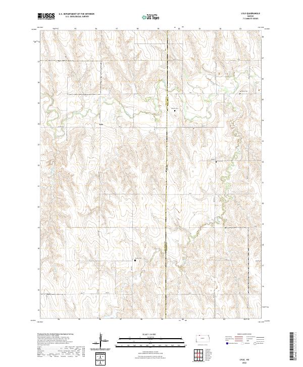
2022 Lyle
Decatur County, KS
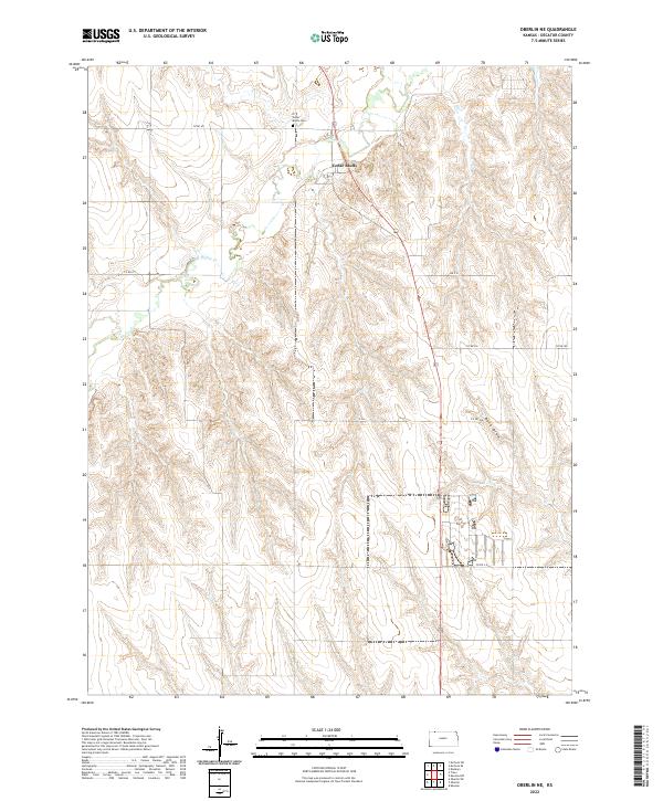
2022 Oberlin NE
Decatur County, KS
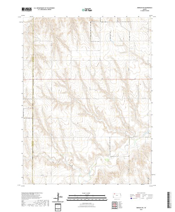
2022 Oberlin SW
Decatur County, KS
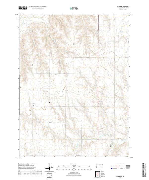
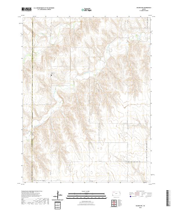
2022 Selden NE
Decatur County, KS
2022 Selden NW
Decatur County, KS
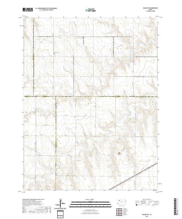
2022 Selden SW
Decatur County, KS
2022 Traer
Decatur County, KS