
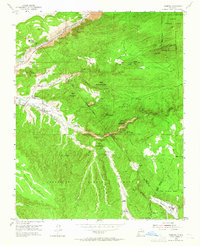
1953 Map of Trampas
USGS Topo · Published 1955About this map
Kit Carson Highway tracks the course of the Rio Grande through the Cañon del Rio Grande, marking a rugged corridor of northern New Mexico settlement. The landscape is defined by traditional Spanish land grants, including the Sebastian Martin Grant and the Las Trampas Grant, which dictate the rural organization of this high-altitude terrain. Small agricultural communities like Dixon, Apodaca, and Canoncito are clustered along the Rio de Peñasco, while the village of Trampas sits to the southeast near the Iglesia de Santo Tomas and the Escuela de Abajo.
Find a feature on this map
45 named features on this map. Tap any name to fly to it.
Don’t see what you’re looking for? This feature index may not catch every label — zoom into the map to look around manually.
Map Details
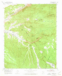
Editions of this 1953 Trampas Map
3 editions found
Other maps of this area

1953 · Truchas
USGS Topo · 1:24,000

1953 · Velarde
USGS Topo · 1:24,000

1953 · Chimayo
USGS Topo · 1:24,000

1954 · Raton
USGS Topo · 1:250,000

1958 · Raton
USGS Topo · 1:250,000

1960 · Taos Junction
USGS Topo · 1:24,000

1961 · Carson
USGS Topo · 1:24,000

1964 · Penasco
USGS Topo · 1:24,000

1964 · Taos SW
USGS Topo · 1:24,000
1964 · El Valle
USGS Topo · 1:24,000